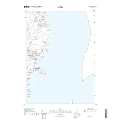
2021 Map of York Beach
USGS Topo · Published 2021About this map
Ogunquit and York Beach anchor this coastal survey, where the rugged Maine shoreline is defined by numerous points, coves, and family-named land tracts. The map records a significant concentration of historical family lots, such as the Stephen Freeman Lot, Charles Bragdon Family Lot, and Jedediah Perkins Lot, providing an invaluable resource for tracing local lineage and land ownership. These private holdings are interspersed with local landmarks like Wadleighs Head and Cape Neddick.
Find a feature on this map
135 named features on this map. Tap any name to fly to it.
Don’t see what you’re looking for? This feature index may not catch every label — zoom into the map to look around manually.
Map Details
Editions of this 2021 York Beach Map
This is the sole edition of this map. No revisions or reprints were ever made.
Other maps of this area

1891 · Biddeford
USGS Topo · 1:62,500

1891 · Kennebunk
USGS Topo · 1:62,500

1893 · Kennebunk
USGS Topo · 1:62,500

1893 · York
USGS Topo · 1:62,500

1893 · Biddeford
USGS Topo · 1:62,500

1898 · Kennebunk
USGS Topo · 1:62,500

1920 · York
USGS Topo · 1:62,500

1941 · Biddeford
USGS Topo · 1:62,500

1941 · Kennebunk
USGS Topo · 1:62,500

1944 · Wells
USGS Topo · 1:24,000