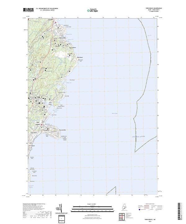
2024 Map of York Beach
USGS Topo · Published 2024About this map
The coastal village of Ogunquit and the southern reaches of Cape Neddick define this modern survey of the York County shoreline. The map reveals a densely layered landscape of family legacy, where small private burial grounds and former estate lots like the Adams Lot and Ramsdell Lot sit alongside modern developments. This juxtaposition of old and new is particularly evident around the York Beach Cem and the Neddick Baptist Church Cem, where historical religious and civic centers continue to anchor the community.
Find a feature on this map
143 named features on this map. Tap any name to fly to it.
Don’t see what you’re looking for? This feature index may not catch every label — zoom into the map to look around manually.
Map Details
Editions of this 2024 York Beach Map
This is the sole edition of this map. No revisions or reprints were ever made.
Other maps of this area

1891 · Biddeford
USGS Topo · 1:62,500

1891 · Kennebunk
USGS Topo · 1:62,500

1893 · Kennebunk
USGS Topo · 1:62,500

1893 · York
USGS Topo · 1:62,500

1893 · Biddeford
USGS Topo · 1:62,500

1898 · Kennebunk
USGS Topo · 1:62,500

1920 · York
USGS Topo · 1:62,500

1941 · Biddeford
USGS Topo · 1:62,500

1941 · Kennebunk
USGS Topo · 1:62,500

1944 · Wells
USGS Topo · 1:24,000