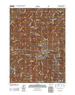
2011 Map of York Butte
USGS Topo · Published 2011About this map
The Old Glory Mine and the rugged canyonlands of the Illinois River corridor define this portion of Josephine County. This 2011 survey illustrates a landscape dominated by complex drainage systems, where Silver Creek and its many tributaries, including Little Silver Creek and the South Fork Silver Creek, carve through the terrain. The presence of the York Creek Botanical Area and numerous Forest Service development roads, such as Nat For Dev Rd 091, underscores the region's managed wilderness character.
Find a feature on this map
42 named features on this map. Tap any name to fly to it.
Don’t see what you’re looking for? This feature index may not catch every label — zoom into the map to look around manually.
Map Details
Editions of this 2011 York Butte Map
This is the sole edition of this map. No revisions or reprints were ever made.
Other maps of this area

1917 · Kerby
USGS Topo · 1:125,000

1918 · Kerby
USGS Topo · 1:125,000

1945 · Kerby
USGS Topo · 1:125,000

1946 · Galice
USGS Topo · 1:62,500

1948 · Galice
USGS Topo · 1:62,500

1954 · Marial
USGS Topo · 1:62,500

1954 · Selma
USGS Topo · 1:62,500

1954 · Pearsoll Peak
USGS Topo · 1:62,500

1955 · Medford
USGS Topo · 1:250,000

1957 · Medford
USGS Topo · 1:250,000