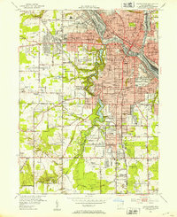
2023 Map of Youngstown
USGS Topo · Published 2023About this map
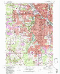
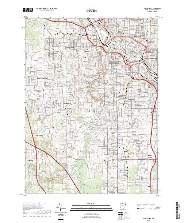
The Mahoning River carves through the heart of the city, anchoring a landscape where industrial heritage and residential growth converge. This modern survey reveals the dense urban grid of Youngstown, including the North Side, East Side, and South Side neighborhoods, alongside major institutional landmarks like Youngstown State University and the Mahoning County Courthouse. The topography is defined by the steep valleys of tributaries like Crab Creek and Mill Creek, the latter of which features a chain of recreation and water management sites including Lake Cohasset and Lily Pond.
Find a feature on this map
60 named features on this map. Tap any name to fly to it.
Don’t see what you’re looking for? This feature index may not catch every label — zoom into the map to look around manually.
Map Details
Editions of this 2023 Youngstown Map
This is the sole edition of this map. No revisions or reprints were ever made.
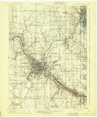
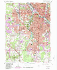
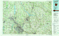
Historical Maps of North Side Through Time
7 maps found