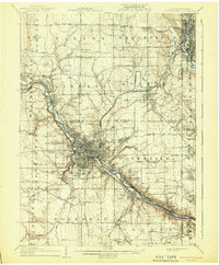
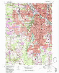
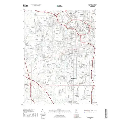
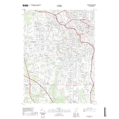
1908 Map of Youngstown
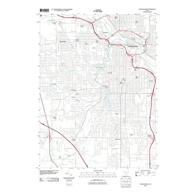
USGS Topo · Published 1943About this map
The Mahoning River valley serves as the industrial spine of this early 20th-century landscape, where steel production and rail transport converge at Youngstown. A dense network of infrastructure including the Erie RR and Pennsylvania RR lines follows the riverbanks, connecting major manufacturing hubs like Struthers and Lowellville. In the city's outskirts, the presence of Idora Park indicates the era's emerging commercial leisure culture, while the surrounding townships of Vienna and Brookfield maintain a more rural character defined by small farming communities.
Find a feature on this map
71 named features on this map. Tap any name to fly to it.
Don’t see what you’re looking for? This feature index may not catch every label — zoom into the map to look around manually.
Map Details
Editions of this 1908 Youngstown Map
2 editions found

Historical Maps of Youngstown Through Time
11 maps found

1906 Youngstown
Mahoning County, OH
1908 Youngstown
Mahoning County, OH
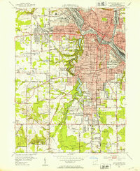
1951 Youngstown
Mahoning County, OH
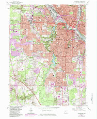
1963 Youngstown
Mahoning County, OH
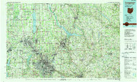
1986 Youngstown
Mahoning County, OH
1994 Youngstown
Mahoning County, OH
2010 Youngstown
Mahoning County, OH
2013 Youngstown
Mahoning County, OH
2016 Youngstown
Mahoning County, OH
2019 Youngstown
Mahoning County, OH
2023 Youngstown
Mahoning County, OH