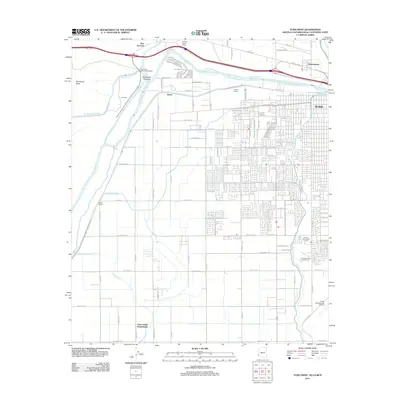
2011 Map of Yuma West
USGS Topo · Published 2011About this map
The Colorado River defines the borderlands of this region, where the engineered waters of the All American Canal and Yuma Main Canal sustain the arid landscape. The desert floor is marked by the expansive Pilot Knob Mesa to the west and a dense network of irrigation infrastructure, including the North Drain and Witty Canal. These features highlight the importance of water management in a region defined by the intersection of Arizona, California, and Mexico.
Find a feature on this map
89 named features on this map. Tap any name to fly to it.
Don’t see what you’re looking for? This feature index may not catch every label — zoom into the map to look around manually.
Map Details
Editions of this 2011 Yuma West Map
This is the sole edition of this map. No revisions or reprints were ever made.
Other maps of this area
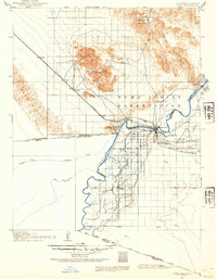
1903 · Yuma
USGS Topo · 1:125,000
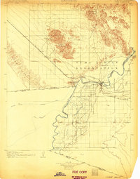
1905 · Yuma
USGS Topo · 1:125,000
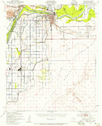
1940 · Yuma
USGS Topo · 1:62,500
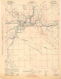
1942 · Yuma
USGS Topo · 1:250,000
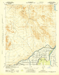
1945 · Picacho Peak
USGS Topo · 1:62,500
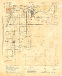
1945 · Yuma
USGS Topo · 1:62,500
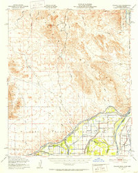
1951 · Picacho Peak
USGS Topo · 1:62,500
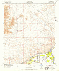
1952 · Araz
USGS Topo · 1:24,000
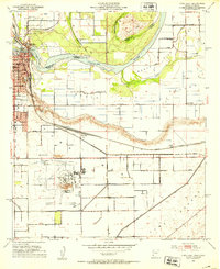
1952 · Yuma East
USGS Topo · 1:24,000
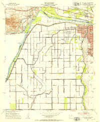
1952 · Yuma West
USGS Topo · 1:24,000