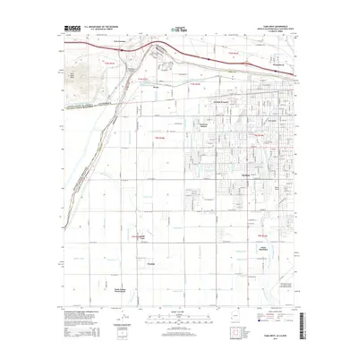
2014 Map of Yuma West
USGS Topo · Published 2014About this map
The Colorado River carves a path through the desert landscape of the southwest, serving as the international border between the United States and Mexico. This 2014 survey documents the complex water management system essential to the region, featuring an extensive network of canals and laterals including the All American Canal, Alamo Canal, and West Main Canal. These waterways support agricultural settlements and residential developments like Padre Ranchitos, Wall Lane, and the Yuma Indian Homesteads.
Find a feature on this map
122 named features on this map. Tap any name to fly to it.
Don’t see what you’re looking for? This feature index may not catch every label — zoom into the map to look around manually.
Map Details
Editions of this 2014 Yuma West Map
This is the sole edition of this map. No revisions or reprints were ever made.
Other maps of this area

1903 · Yuma
USGS Topo · 1:125,000

1905 · Yuma
USGS Topo · 1:125,000

1940 · Yuma
USGS Topo · 1:62,500

1942 · Yuma
USGS Topo · 1:250,000

1945 · Picacho Peak
USGS Topo · 1:62,500

1945 · Yuma
USGS Topo · 1:62,500

1951 · Picacho Peak
USGS Topo · 1:62,500

1952 · Araz
USGS Topo · 1:24,000

1952 · Yuma East
USGS Topo · 1:24,000

1952 · Yuma West
USGS Topo · 1:24,000