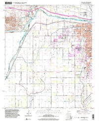
1997 Map of Yuma West
USGS Topo · Published 2003About this map
The Colorado River serves as the central artery for this complex borderland landscape, where the diverted waters of the Main Canal and Alamo Canal fuel the intensive irrigation of the Yuma Valley. This region is defined by its international and interstate boundaries, where the United States Mexico border meets the California Arizona line near the Andrade site. The engineering of the desert is evident in the network of drains and laterals, such as the Central Drain and Howe Lateral, which support the University of Arizona Agricultural Experiment Sta.
Find a feature on this map
77 named features on this map. Tap any name to fly to it.
Don’t see what you’re looking for? This feature index may not catch every label — zoom into the map to look around manually.
Map Details
Editions of this 1997 Yuma West Map
This is the sole edition of this map. No revisions or reprints were ever made.
Other maps of this area

1903 · Yuma
USGS Topo · 1:125,000

1905 · Yuma
USGS Topo · 1:125,000

1940 · Yuma
USGS Topo · 1:62,500

1942 · Yuma
USGS Topo · 1:250,000

1945 · Picacho Peak
USGS Topo · 1:62,500

1945 · Yuma
USGS Topo · 1:62,500

1951 · Picacho Peak
USGS Topo · 1:62,500

1952 · Araz
USGS Topo · 1:24,000

1952 · Yuma East
USGS Topo · 1:24,000

1952 · Yuma West
USGS Topo · 1:24,000