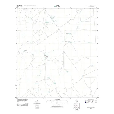
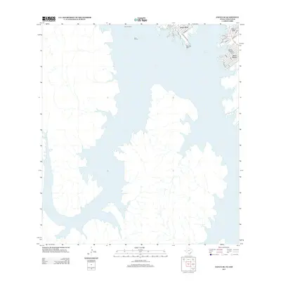
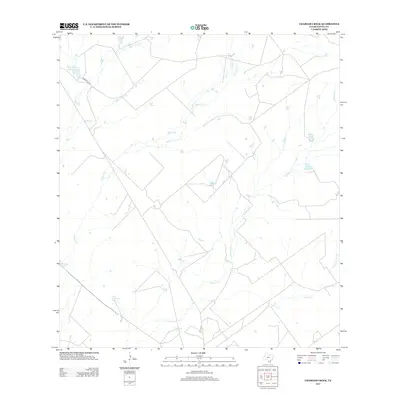
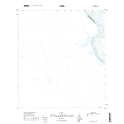
2022 Map of Zapata SE
USGS Topo · Published 2022About this map
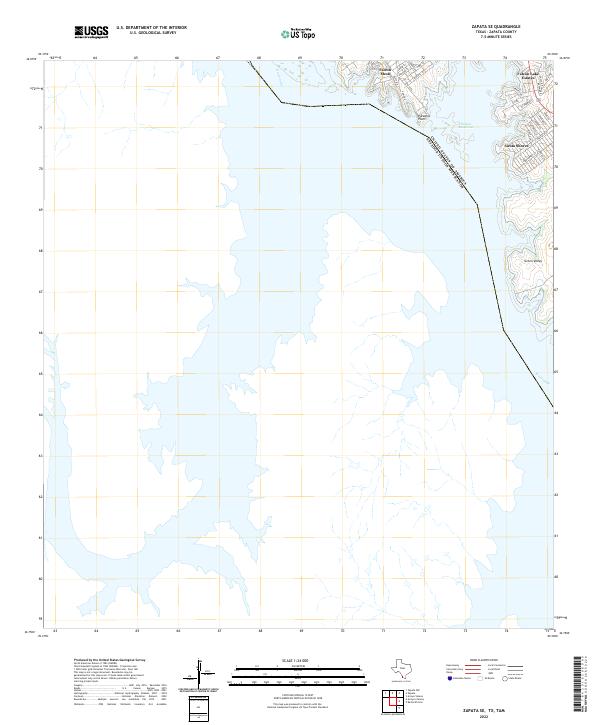
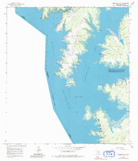
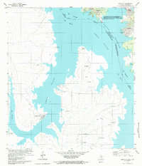
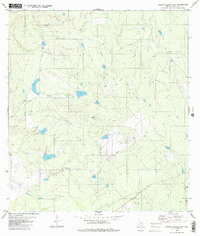
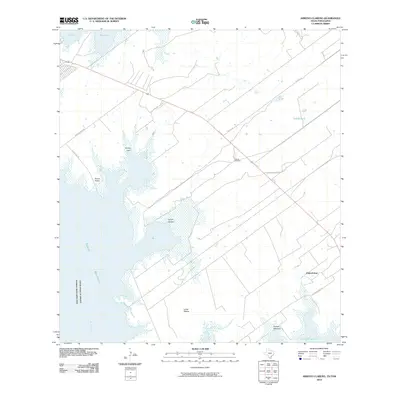
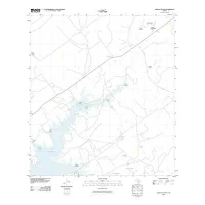
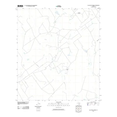
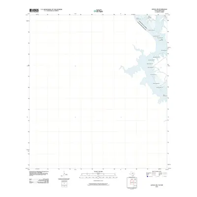
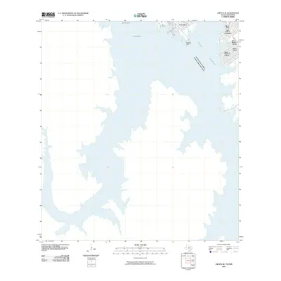
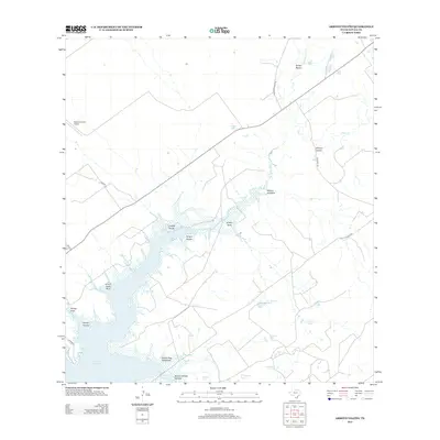
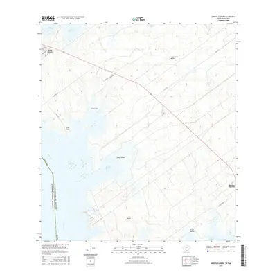
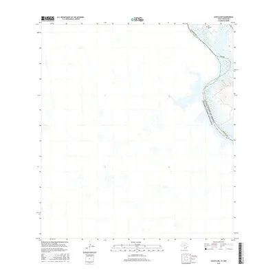
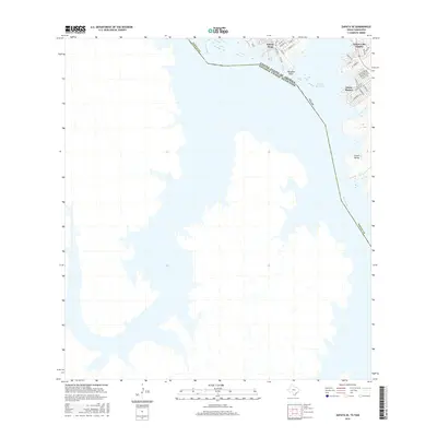
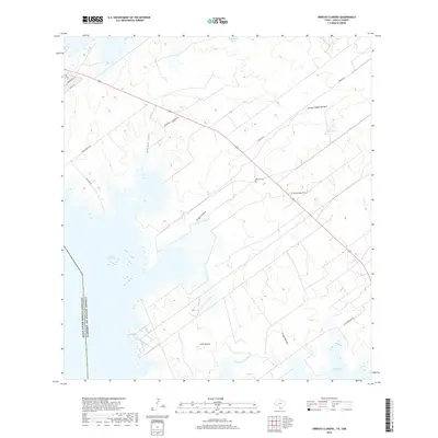
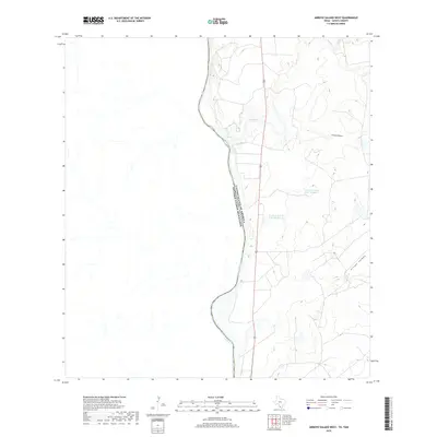
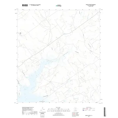
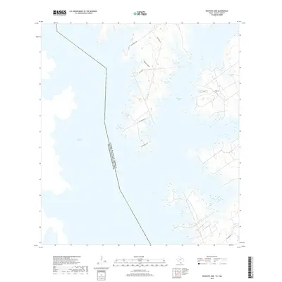
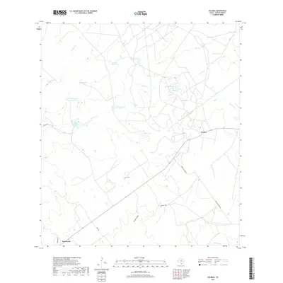
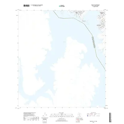
Falcon Reservoir dominates the landscape along the international boundary between the United States and Mexico. This survey shows the modern development of lakeside communities along the eastern shore, including Falcon Lake Estates and Siesta Shores. The expansive water body occupies the valley of the Rio Grande, which continues its course southward below the dam area. Landforms like Paradise Point extend into the reservoir, while the residential street grids of Falcon Mesa illustrate the region's contemporary transition into a recreational and residential hub. Away from the water's edge, the map traces the local road network, such as Fm 3074 and Bluff Rd, which connect these isolated settlements to the larger Zapata County region. The terrain is characterized by the contrast between the intricate shoreline and the open areas surrounding Green Valley.
Find a feature on this map
30 named features on this map. Tap any name to fly to it.
Don’t see what you’re looking for? This feature index may not catch every label — zoom into the map to look around manually.
Map Details
Editions of this 2022 Zapata SE Map
This is the sole edition of this map. No revisions or reprints were ever made.
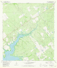
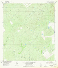
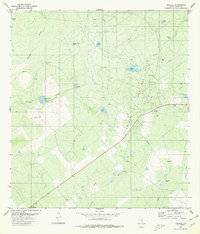
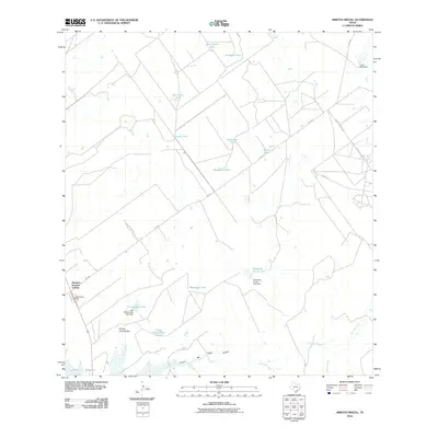
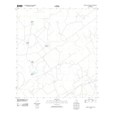
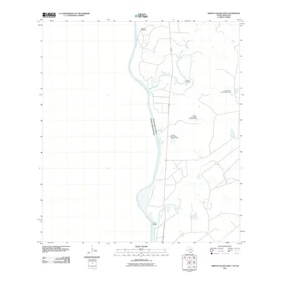
Historical Maps of Falcon Mesa Through Time
92 maps found
1938 Falcon
Zapata County, TX
1940 Mogotes Hill
Zapata County, TX
1956 Arroyo Clareno
Zapata County, TX
1956 Mogotes Hill
Zapata County, TX
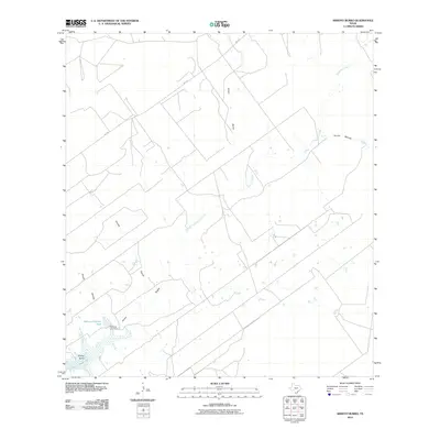
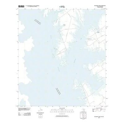
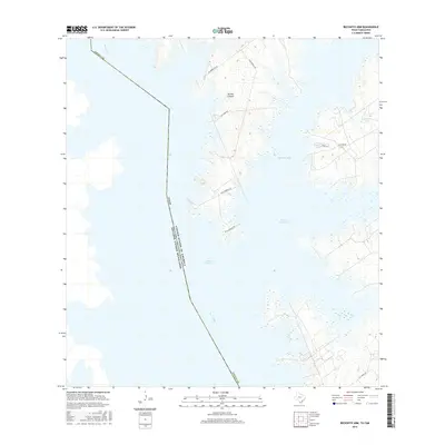
1965 Beckwith Arm
Zapata County, TX
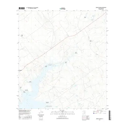
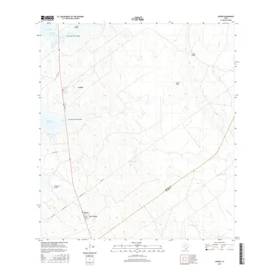
1965 Lopeno
Zapata County, TX
1979 Zapata NW
Zapata County, TX
1979 Zapata SE
Zapata County, TX
1980 Arroyo Burro
Zapata County, TX
1980 Arroyo Huisache
Zapata County, TX
1980 Arroyo Miguel
Zapata County, TX
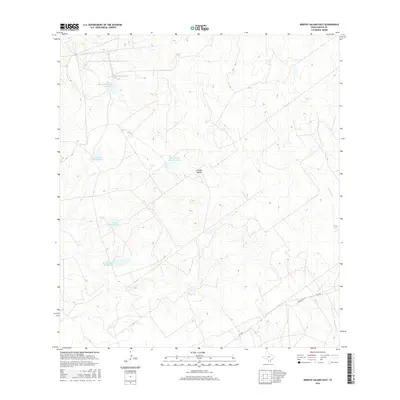
1980 Arroyo Salado East
Zapata County, TX
1980 Arroyo Veleno
Zapata County, TX
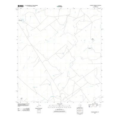
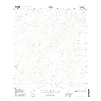
1980 Chargos Creek
Zapata County, TX
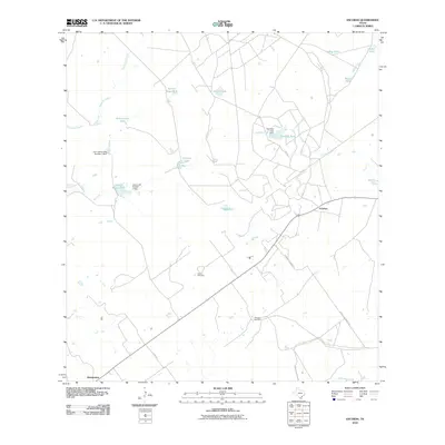
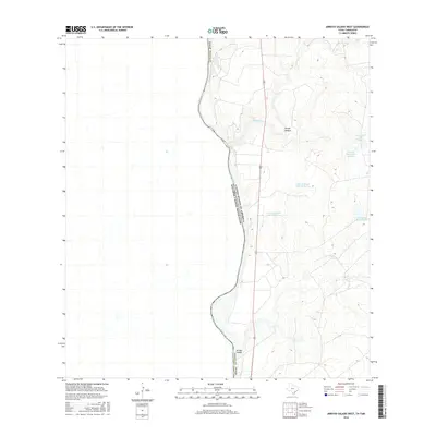
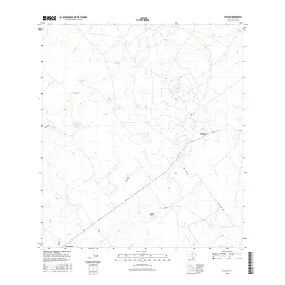
1980 Escobas
Zapata County, TX
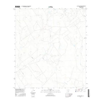
1980 Las Ovejas Creek
Zapata County, TX
1980 Mogotes Hill
Zapata County, TX
2010 Arroyo Burro
Zapata County, TX
2010 Arroyo Clareno
Zapata County, TX
2010 Arroyo Huisache
Zapata County, TX
2010 Arroyo Miguel
Zapata County, TX
2010 Arroyo Salado East
Zapata County, TX
2010 Arroyo Salado West
Zapata County, TX
2010 Arroyo Veleno
Zapata County, TX
2010 Beckwith Arm
Zapata County, TX
2010 Chargos Creek
Zapata County, TX
2010 Escobas
Zapata County, TX
2010 Las Ovejas Creek
Zapata County, TX
2010 Lopeno
Zapata County, TX
2010 Mogotes Hill
Zapata County, TX
2010 Zapata NW
Zapata County, TX
2010 Zapata SE
Zapata County, TX
2012 Arroyo Clareno
Zapata County, TX
2012 Arroyo Huisache
Zapata County, TX
2012 Arroyo Miguel
Zapata County, TX
2012 Arroyo Veleno
Zapata County, TX
2012 Beckwith Arm
Zapata County, TX
2012 Lopeno
Zapata County, TX
2012 Zapata NW
Zapata County, TX
2012 Zapata SE
Zapata County, TX
2013 Arroyo Burro
Zapata County, TX
2013 Arroyo Salado East
Zapata County, TX
2013 Arroyo Salado West
Zapata County, TX
2013 Chargos Creek
Zapata County, TX
2013 Escobas
Zapata County, TX
2013 Las Ovejas Creek
Zapata County, TX
2013 Mogotes Hill
Zapata County, TX
2016 Arroyo Burro
Zapata County, TX
2016 Arroyo Clareno
Zapata County, TX
2016 Arroyo Huisache
Zapata County, TX
2016 Arroyo Miguel
Zapata County, TX
2016 Arroyo Salado East
Zapata County, TX
2016 Arroyo Salado West
Zapata County, TX
2016 Arroyo Veleno
Zapata County, TX
2016 Beckwith Arm
Zapata County, TX
2016 Chargos Creek
Zapata County, TX
2016 Escobas
Zapata County, TX
2016 Las Ovejas Creek
Zapata County, TX
2016 Lopeno
Zapata County, TX
2016 Mogotes Hill
Zapata County, TX
2016 Zapata NW
Zapata County, TX
2016 Zapata SE
Zapata County, TX
2019 Arroyo Burro
Zapata County, TX
2019 Arroyo Clareno
Zapata County, TX
2019 Arroyo Huisache
Zapata County, TX
2019 Arroyo Miguel
Zapata County, TX
2019 Arroyo Salado East
Zapata County, TX
2019 Arroyo Salado West
Zapata County, TX
2019 Arroyo Veleno
Zapata County, TX
2019 Beckwith Arm
Zapata County, TX
2019 Chargos Creek
Zapata County, TX
2019 Escobas
Zapata County, TX
2019 Las Ovejas Creek
Zapata County, TX
2019 Lopeno
Zapata County, TX
2019 Mogotes Hill
Zapata County, TX
2019 Zapata NW
Zapata County, TX
2019 Zapata SE
Zapata County, TX
2022 Arroyo Burro
Zapata County, TX
2022 Arroyo Clareno
Zapata County, TX
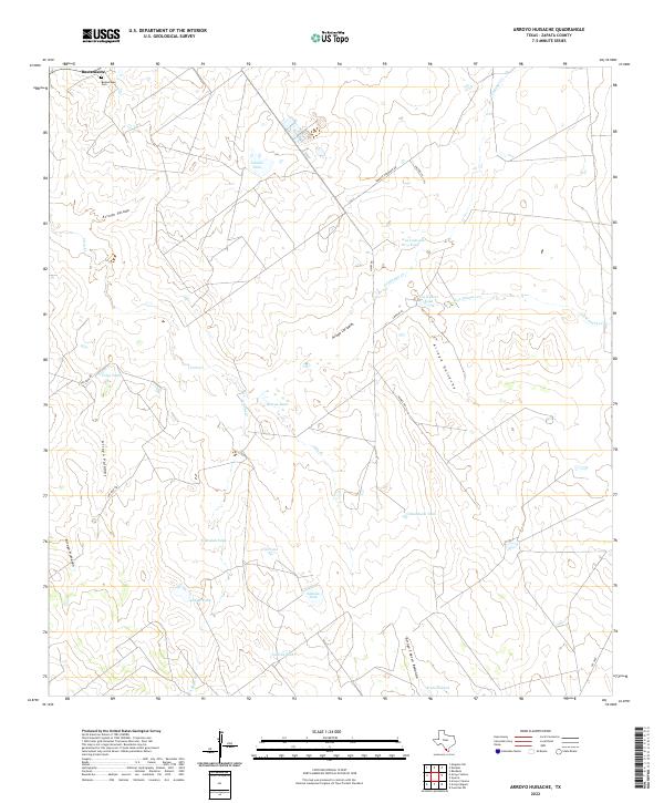
2022 Arroyo Huisache
Zapata County, TX
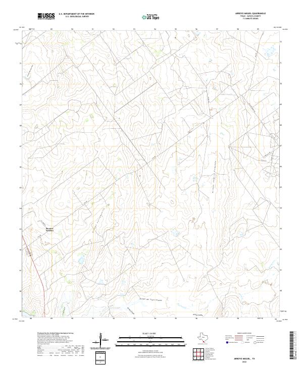
2022 Arroyo Miguel
Zapata County, TX
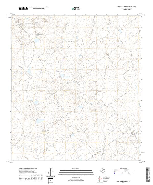
2022 Arroyo Salado East
Zapata County, TX
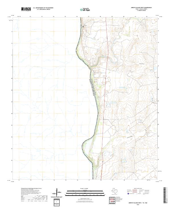
2022 Arroyo Salado West
Zapata County, TX

2022 Arroyo Veleno
Zapata County, TX
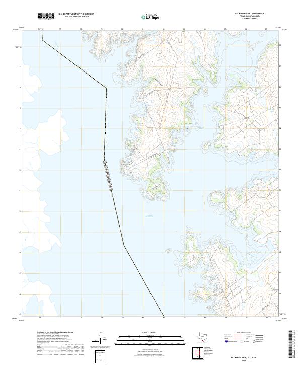
2022 Beckwith Arm
Zapata County, TX
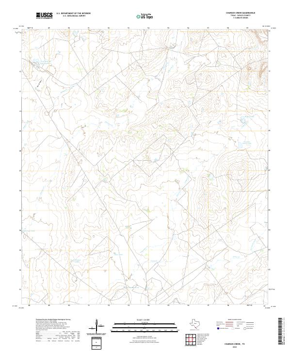
2022 Chargos Creek
Zapata County, TX
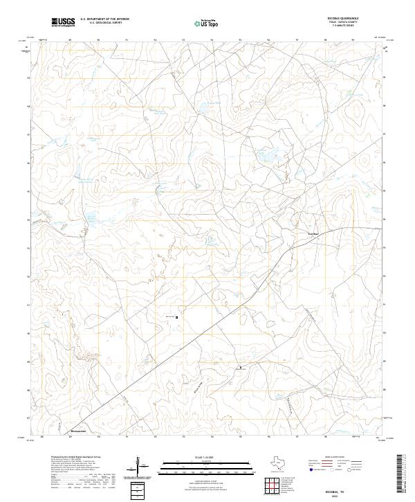
2022 Escobas
Zapata County, TX
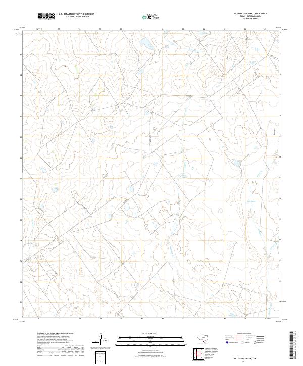
2022 Las Ovejas Creek
Zapata County, TX
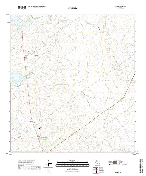
2022 Lopeno
Zapata County, TX
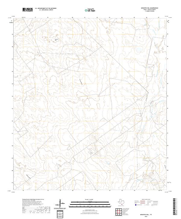
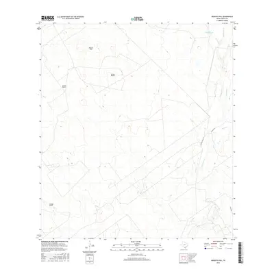
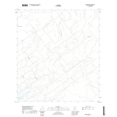
2022 Mogotes Hill
Zapata County, TX
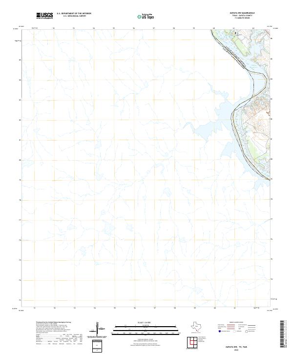
2022 Zapata NW
Zapata County, TX
2022 Zapata SE
Zapata County, TX
Featured Locations
- Falcon Lake, TX
- Falcon Lake Estates, TX
- Falcon Mesa, TX
- Four Seasons Colonia, TX
- Siesta Shores 1 Colonia, TX