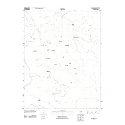
2012 Map of Zeni Ridge
USGS Topo · Published 2012About this map
The Garcia River and Rancheria Cr dominate this section of the Mendocino County landscape, where the terrain is defined by a series of named openings and ridges. High points like Dry Bridge Mountain and Buck Peak overlook a network of watercourses including Minnie Cr and Inman Cr. Settlement patterns are sparse, represented by locations such as Little Penny and Zeni Ridge, connected by historical routes like Signal Ridge Rd and Fish Rock Rd.
Find a feature on this map
46 named features on this map. Tap any name to fly to it.
Don’t see what you’re looking for? This feature index may not catch every label — zoom into the map to look around manually.
Map Details
Editions of this 2012 Zeni Ridge Map
This is the sole edition of this map. No revisions or reprints were ever made.
Other maps of this area

1943 · Point Arena
USGS Topo · 1:62,500

1943 · Boonville
USGS Topo · 1:62,500

1943 · Navarro
USGS Topo · 1:62,500

1943 · Ornbaun
USGS Topo · 1:62,500

1944 · Saddle Point
USGS Topo · 1:62,500

1944 · Ornbaun
USGS Topo · 1:62,500

1947 · Santa Rosa
USGS Topo · 1:250,000

1949 · Santa Rosa
USGS Topo · 1:250,000

1957 · Ukiah
USGS Topo · 1:250,000

1958 · Santa Rosa
USGS Topo · 1:250,000