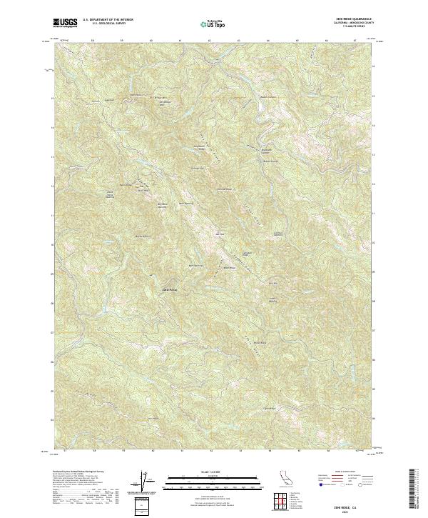
2021 Map of Zeni Ridge
USGS Topo · Published 2021About this map
Zeni Ridge and the Garcia River basin characterize this Mendocino County landscape, where deep canyons and high ridges define the settlement patterns of the early 21st century. The map reveals a distinct history of land use through numerous named clearings or "openings," such as Barn Opening, Beebe Opening, and German Opening, which suggest a heritage of grazing or homesteading in the timber-heavy terrain. High points like Buck Peak and Sugarloaf watch over a network of seasonal drainages including Inman Cr and Rancheria Cr. Isolated locations like Little Penny and the treacherous Devils Slide are accessible via winding routes like Mountain View Rd, reflecting the enduring character of this remote coastal range environment. The presence of several distinct springs, including Stansbury Spring and Summit Spring, highlights the critical importance of water sources in these high-elevation ridges.
Find a feature on this map
51 named features on this map. Tap any name to fly to it.
Don’t see what you’re looking for? This feature index may not catch every label — zoom into the map to look around manually.
Map Details
Editions of this 2021 Zeni Ridge Map
This is the sole edition of this map. No revisions or reprints were ever made.
Other maps of this area

1943 · Point Arena
USGS Topo · 1:62,500

1943 · Boonville
USGS Topo · 1:62,500

1943 · Navarro
USGS Topo · 1:62,500

1943 · Ornbaun
USGS Topo · 1:62,500

1944 · Saddle Point
USGS Topo · 1:62,500

1944 · Ornbaun
USGS Topo · 1:62,500

1947 · Santa Rosa
USGS Topo · 1:250,000

1949 · Santa Rosa
USGS Topo · 1:250,000

1957 · Ukiah
USGS Topo · 1:250,000

1958 · Santa Rosa
USGS Topo · 1:250,000