2024 Map of Zephyrhills
USGS Topo · Published 2024About this map
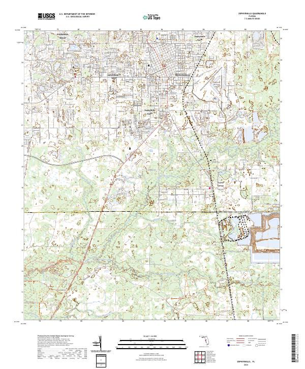
Crystal Springs and the surrounding suburban developments of Zephyrhills anchor this contemporary survey of southeastern Pasco County. The landscape is defined by the hydrologic network of the Hillsborough River and Blackwater Creek, which flow through protected areas like the Blackwater Creek Preserve Trl and Hillsborough River State Park Trl. The map documents the extensive residential expansion into areas such as Pasadena Hills, Zephyrhills North, and Zephyrhills West, showing a dense grid of modern roads including Eiland Blvd and Handcart Rd. Local heritage sites remain visible amidst the growth, including the Geiger Cem and Crystal Springs Cem. Small lakes like Lake Zephyr and Sixmile Pond are integrated into the suburban fabric, illustrating the region's characteristic Florida wetland and residential interface.
Find a feature on this map
162 named features on this map. Tap any name to fly to it.
Don’t see what you’re looking for? This feature index may not catch every label — zoom into the map to look around manually.
Map Details
Editions of this 2024 Zephyrhills Map
This is the sole edition of this map. No revisions or reprints were ever made.
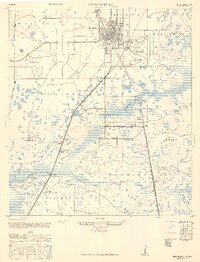
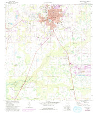
Historical Maps of Zephyrhills Through Time
3 maps found
Featured Locations
- Hillsborough County, FL
- Pasco County, FL
- Crystal Springs Colony Farms, FL
- Crystal Springs, FL
- Zephyrhills, FL