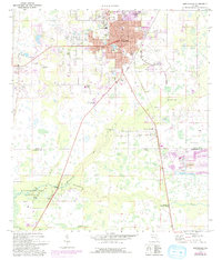
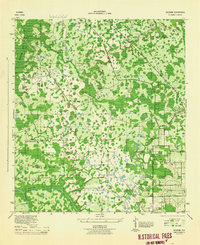
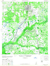
1975 Map of Zephyrhills
USGS Topo · Published 1993About this map
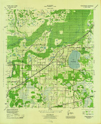
Zephyrhills serves as the central hub of this mid-1970s survey, showing a landscape defined by citrus-era growth and the natural hydrology of the Florida interior. The residential grids of the town are clearly established, supported by community landmarks like the First Christian Ch and the Municipal Bldg near Lake Zephyr. Further south, the settlement of Crystal Springs sits near the headwaters of the Hillsborough River, where the Crystal Springs Park and local Sandpit operations reflect the area's dual reliance on natural resources and recreation.
Find a feature on this map
34 named features on this map. Tap any name to fly to it.
Don’t see what you’re looking for? This feature index may not catch every label — zoom into the map to look around manually.
Map Details
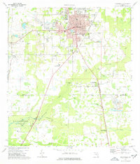
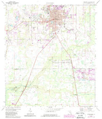
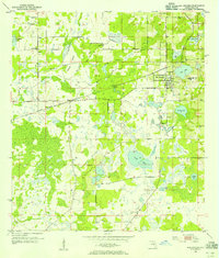
Editions of this 1975 Zephyrhills Map
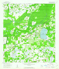
Other maps of this area
1943 · Thonotosassa
USGS Topo · 1:24,000

1944 · Plant City
USGS Topo · 1:31,680
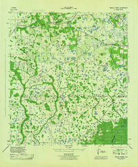
1944 · Wesley Chapel
USGS Topo · 1:31,680
1944 · Thonotosassa
USGS Topo · 1:31,680
1944 · Antioch
USGS Topo · 1:31,680
1944 · Socrum
USGS Topo · 1:31,680
1947 · Zephyrhills
USGS Topo · 1:24,000
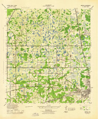
1954 · San Antonio
USGS Topo · 1:24,000

1955 · Plant City
USGS Topo · 1:250,000

1958 · Plant City
USGS Topo · 1:250,000
Featured Places
- Zephyrhills, FL
- Crystal Springs Colony Farms, FL
- Crystal Springs, FL
- Hillsborough County, FL
- Pasco County, FL