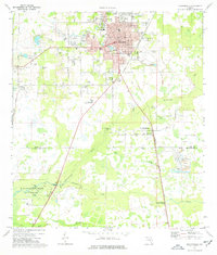
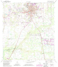
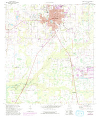
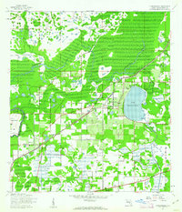
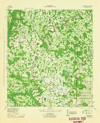
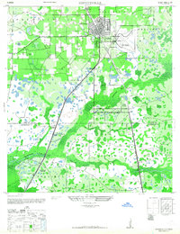
1975 Map of Zephyrhills
USGS Topo · Published 1976About this map
The growing community of Zephyrhills serves as the central hub for this mid-1970s survey, showing a landscape defined by its transition from citrus and rail infrastructure to a retirement and residential destination. Numerous trailer parks are scattered throughout the quadrangle, reflecting the area's development boom during this era. Spiritual and social life is anchored by several local congregations, including Oakside Ch, First Christian Ch, and Bethel Ch, while the Seaboard Coast Line railroad continues to provide a vital transport corridor through the heart of the settlement.
Find a feature on this map
39 named features on this map. Tap any name to fly to it.
Don’t see what you’re looking for? This feature index may not catch every label — zoom into the map to look around manually.
Map Details
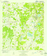
Editions of this 1975 Zephyrhills Map
Other maps of this area
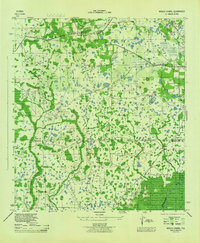
1943 · Thonotosassa
USGS Topo · 1:24,000

1944 · Plant City
USGS Topo · 1:31,680
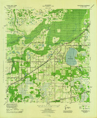
1944 · Wesley Chapel
USGS Topo · 1:31,680
1944 · Thonotosassa
USGS Topo · 1:31,680
1944 · Antioch
USGS Topo · 1:31,680
1944 · Socrum
USGS Topo · 1:31,680
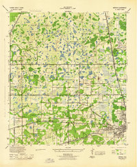
1947 · Zephyrhills
USGS Topo · 1:24,000
1954 · San Antonio
USGS Topo · 1:24,000

1955 · Plant City
USGS Topo · 1:250,000

1958 · Plant City
USGS Topo · 1:250,000
Featured Places
- Zephyrhills, FL
- Crystal Springs Colony Farms, FL
- Crystal Springs, FL
- Hillsborough County, FL
- Pasco County, FL