
1944 Map of Wesley Chapel
USGS Topo · Published 1944About this map
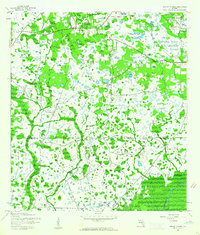
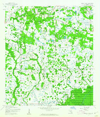
The community of Wesley Chapel anchors the northern portion of this wartime survey, situated in a landscape dominated by pine flatwoods and dense wetlands before the rapid suburbanization of Pasco County. Further south, Branchton and the Sulphur Works hint at localized activity and industry near the winding course of the Hillsborough River. The topography is defined by complex drainage systems, including Trout Creek, Clay Gully, and the New River, which flows toward the southeastern corner near the boundary of Hillsborough State Park. Local landmarks such as the Double Branch Church and the settlement of Stanley provide specific points of interest for genealogists tracking early families in this region. This 1944 edition reflects the area's rural character, organized into electoral districts like Precinct 7 and Precinct 6, prior to the construction of modern interstate highway networks.
Find a feature on this map
16 named features on this map. Tap any name to fly to it.
Don’t see what you’re looking for? This feature index may not catch every label — zoom into the map to look around manually.
Map Details
Editions of this 1944 Wesley Chapel Map
3 editions found
Other maps of this area

1943 · Thonotosassa
USGS Topo · 1:24,000

1943 · Lutz
USGS Topo · 1:24,000

1944 · Sulphur Springs
USGS Topo · 1:31,680

1944 · Lutz
USGS Topo · 1:31,680

1944 · Thonotosassa
USGS Topo · 1:31,680

1944 · Antioch
USGS Topo · 1:31,680

1945 · Sulphur Springs
USGS Topo · 1:31,680

1947 · Zephyrhills
USGS Topo · 1:24,000
1949 · Sulphur Springs
USGS Topo · 1:25,000

1954 · Ehren
USGS Topo · 1:24,000