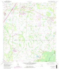
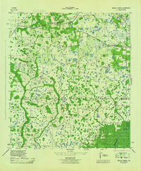
1944 Map of Wesley Chapel
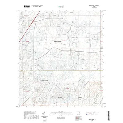
USGS Topo · Published 1962About this map
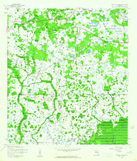
The Wesley Chapel settlement and surrounding wetlands define this mid-1940s landscape, surveyed just before the post-war development boom reached central Florida. The terrain is characterized by a dense network of seasonal ponds and cypress swamps, with the meandering course of Trout Creek flowing south toward the Hillsborough River. In the southeastern corner, the river enters the protected boundaries of Hillsborough State Park, an area showing minimal human intrusion compared to the sparse crossroads of Branchton to the west. This survey by the Army Map Service documents the region's rural character at the Pasco and Hillsborough county line, where unimproved roads and light-duty tracks served a community primarily organized around small homesteads and the namesake chapel before the arrival of modern interstate infrastructure.
Find a feature on this map
6 named features on this map. Tap any name to fly to it.
Don’t see what you’re looking for? This feature index may not catch every label — zoom into the map to look around manually.
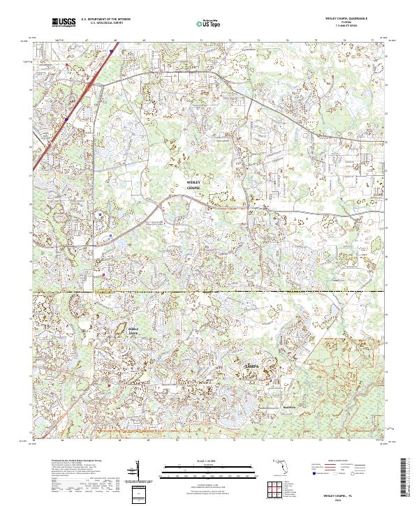
Map Details
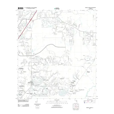
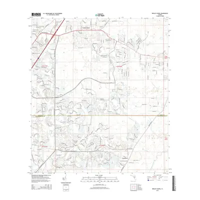
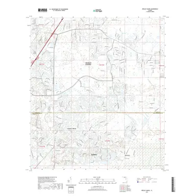
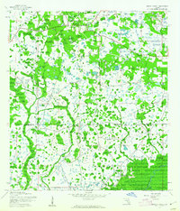
Editions of this 1944 Wesley Chapel Map
3 editions found
Historical Maps of Tampa Through Time
7 maps found