
1944 Map of Lutz
USGS Topo · Published 1944About this map
Lutz and its surrounding cypress wetlands are captured here just as World War II-era mapping efforts documented the Florida interior. The landscape is defined by an intricate network of hundreds of small lakes, such as Lake Thomas, King Lake, and Lake Hobbs, interspersed with the expansive Big Cypress Swamp and Cabbage Swamp to the east. Transportation during this period was anchored by the parallel routes of the Seaboard Air Line and the Atlantic Coast Line railroads, which serviced small communities like Drexel and Denham. The map reveals a transition from these rail-dependent settlements toward a road-connected interior, evidenced by Feinbinger Road and Sunset Lane. Local life centers on landmarks like the Myrtle Denham School, the Drexel Church, and the roadside attraction at Dupree Gardens, providing a detailed look at the rural character of northern Hillsborough and southern Pasco counties before later suburban expansion.
Find a feature on this map
57 named features on this map. Tap any name to fly to it.
Don’t see what you’re looking for? This feature index may not catch every label — zoom into the map to look around manually.
Map Details
Editions of this 1944 Lutz Map
This is the sole edition of this map. No revisions or reprints were ever made.
Other maps of this area

1943 · Odessa
USGS Topo · 1:24,000

1943 · Thonotosassa
USGS Topo · 1:24,000

1943 · Lutz
USGS Topo · 1:24,000

1944 · Sulphur Springs
USGS Topo · 1:31,680

1944 · Wesley Chapel
USGS Topo · 1:31,680

1944 · Odessa
USGS Topo · 1:31,680

1944 · Thonotosassa
USGS Topo · 1:31,680

1945 · Sulphur Springs
USGS Topo · 1:31,680
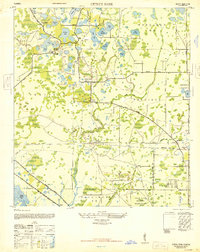
1947 · Citrus Park
USGS Topo · 1:24,000
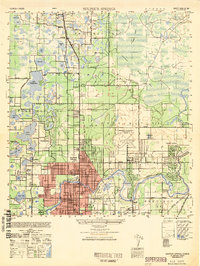
1949 · Sulphur Springs
USGS Topo · 1:25,000