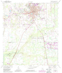
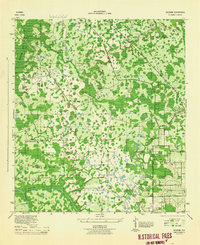
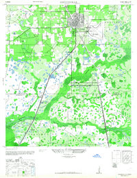
1975 Map of Zephyrhills
USGS Topo · Published 1987About this map
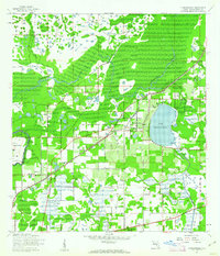
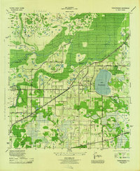
Zephyrhills serves as the central hub on this mid-1970s survey, surrounded by a transition from residential street grids to the swampy lowlands of the Hillsborough River basin. The area is defined by its water management and transportation infrastructure, featuring the S C L RR and C S X lines cutting through the landscape. To the south, the Hillsborough River State Park and Upper Hillsborough State Wildlife Management Area preserve the natural hydrology of the Indian River and Blackwater Creek.
Find a feature on this map
36 named features on this map. Tap any name to fly to it.
Don’t see what you’re looking for? This feature index may not catch every label — zoom into the map to look around manually.
Map Details
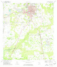
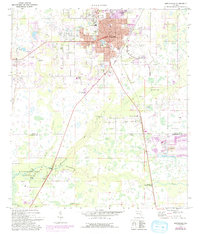
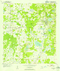
Editions of this 1975 Zephyrhills Map
Other maps of this area
1943 · Thonotosassa
USGS Topo · 1:24,000

1944 · Plant City
USGS Topo · 1:31,680
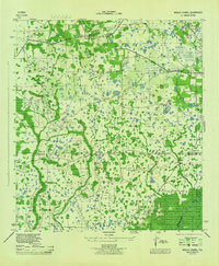
1944 · Wesley Chapel
USGS Topo · 1:31,680
1944 · Thonotosassa
USGS Topo · 1:31,680
1944 · Antioch
USGS Topo · 1:31,680
1944 · Socrum
USGS Topo · 1:31,680
1947 · Zephyrhills
USGS Topo · 1:24,000
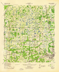
1954 · San Antonio
USGS Topo · 1:24,000

1955 · Plant City
USGS Topo · 1:250,000

1958 · Plant City
USGS Topo · 1:250,000
Featured Places
- Zephyrhills, FL
- Crystal Springs Colony Farms, FL
- Crystal Springs, FL
- Hillsborough County, FL
- Pasco County, FL