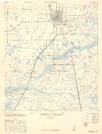
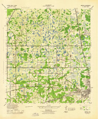
1947 Map of Zephyrhills
USGS Topo · Published 1949About this map
Zephyrhills and its surrounding precincts are captured here during a period of transition from wartime military operations to civil expansion. The Zephyrhills Army Air Base dominates the eastern edge of town, while the parallel tracks of the Atlantic Coast Line and Seaboard Air Line railroads underscore the importance of transit and commerce in Pasco County. Further south, the community of Crystal Springs is detailed with its School and Cemetery, situated near the headwaters of the Hillsborough River. The landscape is a mosaic of cypress swamps and wetlands, drained in parts by the Big Ditch and Blackwater Creek. Notable landmarks include the State Highway Prison Camp along the Fort King Highway and the recreation areas at Hillsborough State Park. This era also reflects localized industry through several Borrow Pits and the small settlement at Glennell Station.
Find a feature on this map
30 named features on this map. Tap any name to fly to it.
Don’t see what you’re looking for? This feature index may not catch every label — zoom into the map to look around manually.
Map Details
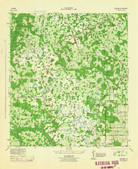
Editions of this 1947 Zephyrhills Map
2 editions found
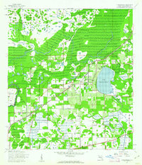
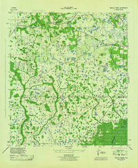
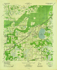
Other maps of this area
1943 · Thonotosassa
USGS Topo · 1:24,000

1944 · Plant City
USGS Topo · 1:31,680
1944 · Wesley Chapel
USGS Topo · 1:31,680
1944 · Thonotosassa
USGS Topo · 1:31,680
1944 · Antioch
USGS Topo · 1:31,680
1944 · Socrum
USGS Topo · 1:31,680
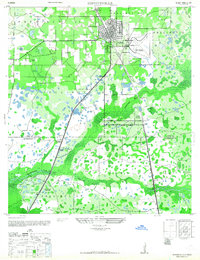
1947 · Zephyrhills
USGS Topo · 1:24,000
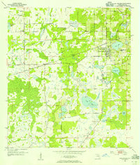
1954 · San Antonio
USGS Topo · 1:24,000

1955 · Plant City
USGS Topo · 1:250,000

1958 · Plant City
USGS Topo · 1:250,000
Featured Places
- Zephyrhills, FL
- Crystal Springs Colony Farms, FL
- Crystal Springs, FL
- Hillsborough County, FL
- Pasco County, FL