Loading...
Loading map...2024 Map of Zion
USGS Topo · Published 2024About this map
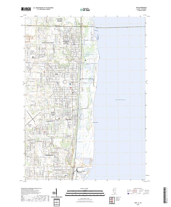
The Lake Michigan shoreline dominates this 2024 landscape, where the state line separates Illinois from Wisconsin. The northern corridor is defined by the grid-patterned streets of Winthrop Harbor and Zion, connected by the Metra rail line that runs parallel to the coast. Near the center of the sheet, the expansive Illinois Beach State Park preserves the complex hydrology of the lakefront, including the winding course of the Dead River and the isolated waters of Dead Lake.
Find a feature on this map
108 named features on this map. Tap any name to fly to it.
Don’t see what you’re looking for? This feature index may not catch every label — zoom into the map to look around manually.
Map Details
Date Portrayed2024
Date Published2024
PublisherU.S. Geological Survey
Map TypeTopographic
Scale1:24000
Physical Dimensions24 x 29 inches
Editions of this 2024 Zion Map
This is the sole edition of this map. No revisions or reprints were ever made.
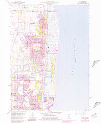
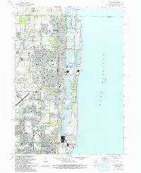
Historical Maps of Brighton Ponds Through Time
Featured Locations
Source Details
SourceU.S. Geological Survey
CopyrightPublic Domain