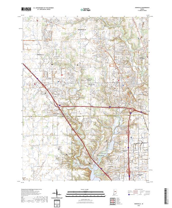
2022 Map of Zionsville
USGS Topo · Published 2022About this map
Zionsville and the surrounding townships in Boone and Marion Counties show the complex intersection of historic rural landscapes and modern suburban expansion. The map details a transition from traditional farmland to residential developments like Eaglewood Estates and Northwest Manor. Significant genealogical sites are scattered throughout, including the Lincoln Memory Gardens Cem and the Macedonia Baptist Church Cem. The natural drainage of the area is defined by Eagle Creek and its many tributaries such as Fishback Creek and Jackson Run, while Traders Point Lake and Russell Lake provide focal points for local geography.
Find a feature on this map
257 named features on this map. Tap any name to fly to it.
Don’t see what you’re looking for? This feature index may not catch every label — zoom into the map to look around manually.
Map Details
Editions of this 2022 Zionsville Map
This is the sole edition of this map. No revisions or reprints were ever made.
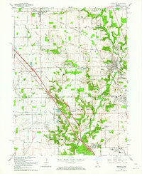
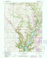
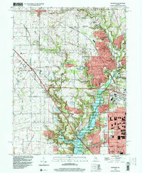
Historical Maps of Indianapolis Through Time
5 maps found