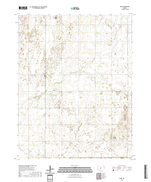
2022 Map of Zook
USGS Topo · Published 2022About this map
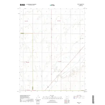
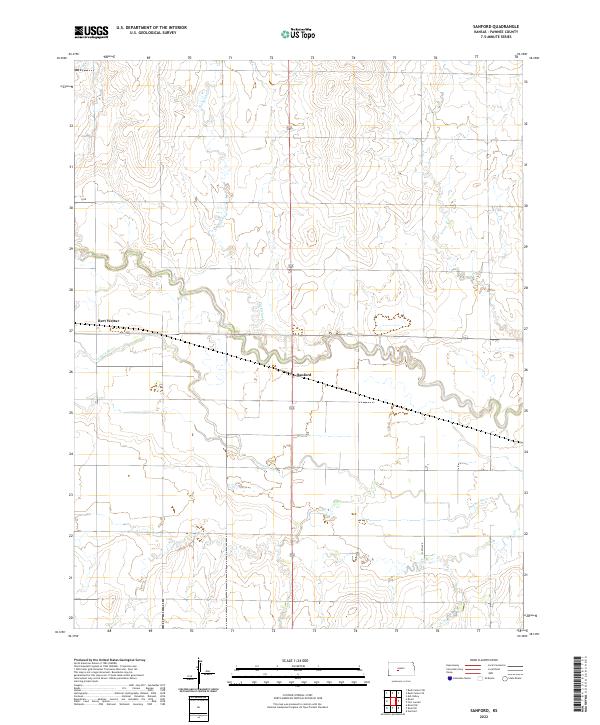
Zook serves as the primary focal point of this Pawnee County landscape, illustrating the sparse settlement patterns typical of the Kansas plains in the early 21st century. The map reveals a highly structured grid of section lines and rural routes, including 120th Ave and D Rd, which anchor the agricultural layout of the region. The drainage systems of Hubbard Cr and Pickle Cr provide the only natural deviation from the rectilinear survey lines, winding through the terrain and influencing the placement of local homesteads and access roads. Near the center of the quadrangle, Pleasant Valley Cem stands as a significant landmark for genealogical research, marking a historical site of community memory within this rural expanse. The map effectively documents the intersection of modern infrastructure and the enduring Public Land Survey System boundaries, such as t23s r16w, which continue to define property and administrative divisions in the heart of the state.
Find a feature on this map
17 named features on this map. Tap any name to fly to it.
Don’t see what you’re looking for? This feature index may not catch every label — zoom into the map to look around manually.
Map Details
Editions of this 2022 Zook Map
This is the sole edition of this map. No revisions or reprints were ever made.
Historical Maps of Zook Through Time
60 maps found
1970 Albert SE
Pawnee County, KS
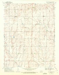
1970 Ash Valley
Pawnee County, KS

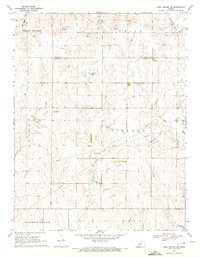
1970 Bazine SE
Pawnee County, KS
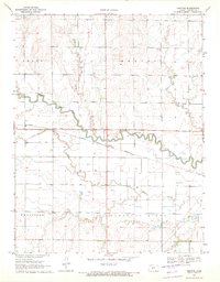
1970 Fort Larned
Pawnee County, KS
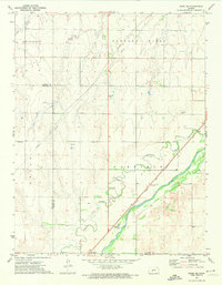
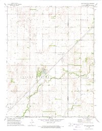
1970 Rush Center SE
Pawnee County, KS
1970 Rush Center SW
Pawnee County, KS
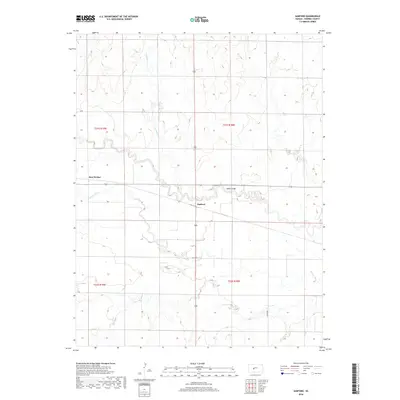
1970 Sanford
Pawnee County, KS
1972 Rozel SE
Pawnee County, KS
1972 Saint John SW
Pawnee County, KS
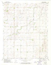
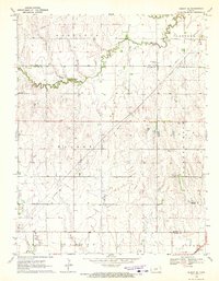
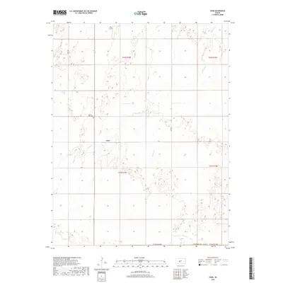
1972 Zook
Pawnee County, KS
2009 Albert SE
Pawnee County, KS
2009 Ash Valley
Pawnee County, KS
2009 Bazine SE
Pawnee County, KS
2009 Rozel SE
Pawnee County, KS
2009 Rush Center SE
Pawnee County, KS
2009 Rush Center SW
Pawnee County, KS
2009 Saint John SW
Pawnee County, KS
2009 Sanford
Pawnee County, KS
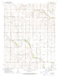
2009 Zook
Pawnee County, KS
2010 Fort Larned
Pawnee County, KS
2012 Albert SE
Pawnee County, KS
2012 Ash Valley
Pawnee County, KS
2012 Bazine SE
Pawnee County, KS
2012 Fort Larned
Pawnee County, KS
2012 Rozel SE
Pawnee County, KS
2012 Rush Center SE
Pawnee County, KS
2012 Rush Center SW
Pawnee County, KS
2012 Saint John SW
Pawnee County, KS
2012 Sanford
Pawnee County, KS
2012 Zook
Pawnee County, KS
2015 Albert SE
Pawnee County, KS
2015 Ash Valley
Pawnee County, KS
2015 Bazine SE
Pawnee County, KS
2015 Fort Larned
Pawnee County, KS
2015 Rozel SE
Pawnee County, KS
2015 Rush Center SE
Pawnee County, KS
2015 Rush Center SW
Pawnee County, KS
2015 Saint John SW
Pawnee County, KS
2015 Sanford
Pawnee County, KS
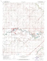
2016 Zook
Pawnee County, KS
2018 Albert SE
Pawnee County, KS
2018 Ash Valley
Pawnee County, KS
2018 Bazine SE
Pawnee County, KS
2018 Fort Larned
Pawnee County, KS
2018 Rozel SE
Pawnee County, KS
2018 Rush Center SE
Pawnee County, KS
2018 Rush Center SW
Pawnee County, KS
2018 Saint John SW
Pawnee County, KS
2018 Sanford
Pawnee County, KS
2018 Zook
Pawnee County, KS
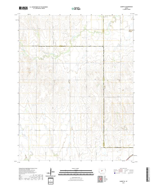
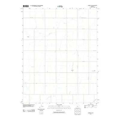
2022 Albert SE
Pawnee County, KS
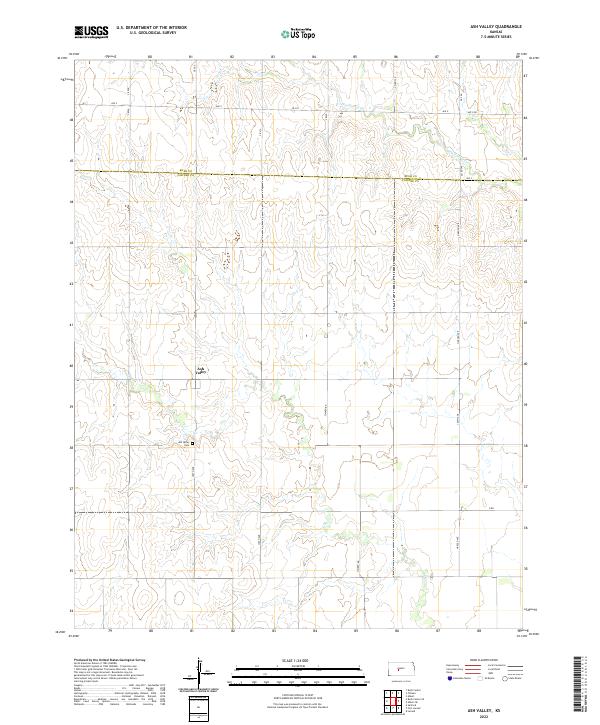
2022 Ash Valley
Pawnee County, KS
2022 Bazine SE
Pawnee County, KS
2022 Fort Larned
Pawnee County, KS
2022 Rozel SE
Pawnee County, KS
2022 Rush Center SE
Pawnee County, KS
2022 Rush Center SW
Pawnee County, KS
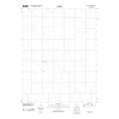
2022 Saint John SW
Pawnee County, KS
2022 Sanford
Pawnee County, KS
2022 Zook
Pawnee County, KS