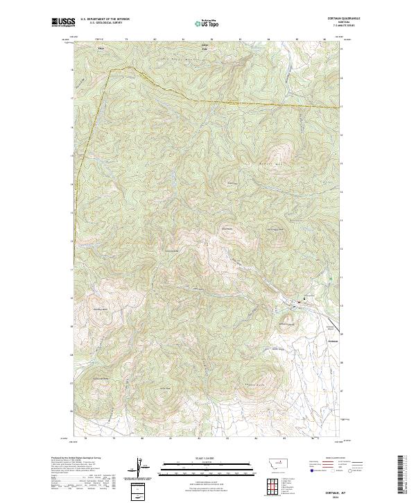
2024 Map of Zortman
USGS Topo · Published 2024About this map
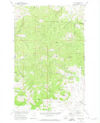
The Little Rocky Mountains dominate this landscape on the border of Phillips and Blaine Counties, where the settlement of Zortman sits at the base of the peaks. This modern survey illustrates a topography defined by steep ridges and deep gulches, such as Alder Gulch and Ruby Gulch, reflecting a terrain that has long been shaped by mining interest and rugged geography. In the northern reaches, the community of Hays is situated near the North Fork Little Peoples Creek, marking a transition from the higher peaks to the surrounding plains.
Find a feature on this map
46 named features on this map. Tap any name to fly to it.
Don’t see what you’re looking for? This feature index may not catch every label — zoom into the map to look around manually.
Map Details
Editions of this 2024 Zortman Map
This is the sole edition of this map. No revisions or reprints were ever made.
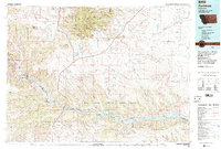
Historical Maps of Zortman Through Time
3 maps found