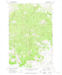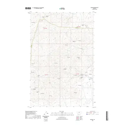
1984 Map of Zortman
USGS Topo · Published 1984About this map
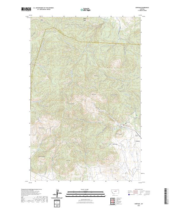
Zortman and Landusky sit at the southern edge of the Little Rocky Mountains, serving as the primary mountain settlements in this expansive landscape of the mid-1980s. The northern portion of the map is dominated by the Fort Belknap Indian Reservation, where peaks like Eagle Child Mountain and Mission Peak rise above the surrounding plains. The terrain transitions dramatically to the south as it meets the breaks of the Missouri River, much of which is protected within the Charles M Russell National Wildlife Refuge.
Find a feature on this map
94 named features on this map. Tap any name to fly to it.
Don’t see what you’re looking for? This feature index may not catch every label — zoom into the map to look around manually.
Map Details
Editions of this 1984 Zortman Map
This is the sole edition of this map. No revisions or reprints were ever made.
Historical Maps of Lodge Pole Through Time
7 maps found