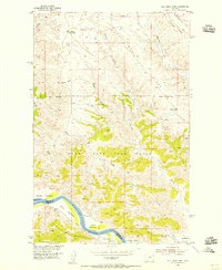
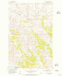
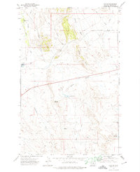
1954 Map of Bell Ridge West
USGS Topo · Published 1956About this map
The Missouri River defines the southern boundary of this central Montana landscape, where the Phillips Co Fergus Co line crosses the water. Along its banks, several named lowlands like Kendall Bottoms, Mc Nulty Bottoms, and Gardipee Bottoms suggest a history of seasonal grazing and riverside activity. Much of the interior is dominated by the Fort Peck Game Range, a vast territory established to protect wildlife habitat in the Missouri River breaks. The topography is defined by significant elevations such as Bell Ridge and Lost Ridge, which are dissected by numerous drainages including Duval Gulch and Slippery Ann Creek. Farther north, the presence of Kendall Cow Camp and several small stock tanks like Bell Reservoir reflect the region's enduring reliance on cattle ranching in the mid-1950s.
Find a feature on this map
21 named features on this map. Tap any name to fly to it.
Don’t see what you’re looking for? This feature index may not catch every label — zoom into the map to look around manually.
Map Details
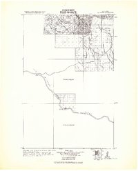
Editions of this 1954 Bell Ridge West Map
3 editions found
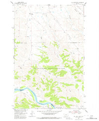
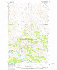
Other maps of this area
1943 · Landusky
USGS Topo · 1:125,000
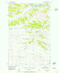
1954 · Bell Ridge East
USGS Topo · 1:24,000
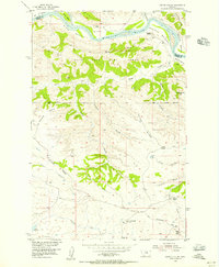
1954 · Hessler Ridge
USGS Topo · 1:24,000
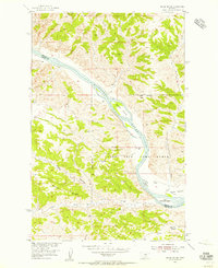
1954 · Carter Coulee
USGS Topo · 1:24,000
1954 · Grand Island
USGS Topo · 1:24,000

1954 · Lewistown
USGS Topo · 1:250,000

1959 · Lewistown
USGS Topo · 1:250,000
1971 · Hays SE
USGS Topo · 1:24,000
1971 · D Y Junction
USGS Topo · 1:24,000
1971 · Shetland Divide
USGS Topo · 1:24,000