
1954 Map of Hessler Ridge
USGS Topo · Published 1956About this map
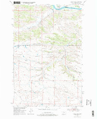
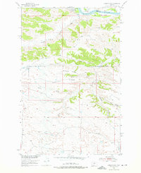
The Missouri River forms the northern boundary of this mid-century survey, dividing Phillips and Fergus Counties as it flows past King Island. The landscape is defined by the transition from riverine flats like Mc Nulty Bottoms and Gardipee Bottoms to the uplifted terrain of Hessler Ridge. This area is part of the expansive Fort Peck Game Range, where the natural drainage patterns of Armells Creek and Musselman Downer Coulee have carved intricate coulees into the northern Montana plains. The map reflects a period of focused Missouri River Basin development, showing the complex topography between Galhand Ridge and the Sand Creek drainage. Notable for local history, the sheet documents the various gulches and named bottoms that were critical landmarks for early land use and wildlife management in this remote river corridor.
Find a feature on this map
17 named features on this map. Tap any name to fly to it.
Don’t see what you’re looking for? This feature index may not catch every label — zoom into the map to look around manually.
Map Details
Editions of this 1954 Hessler Ridge Map
3 editions found
Other maps of this area

1943 · Landusky
USGS Topo · 1:125,000

1954 · Bell Ridge East
USGS Topo · 1:24,000

1954 · Carter Coulee
USGS Topo · 1:24,000

1954 · Bell Ridge West
USGS Topo · 1:24,000

1954 · Grand Island
USGS Topo · 1:24,000

1954 · Lewistown
USGS Topo · 1:250,000

1959 · Lewistown
USGS Topo · 1:250,000

1984 · Zortman
USGS Topo · 1:100,000

1985 · Griffee Coulee
USGS Topo · 1:24,000

1985 · Sloan Reservoir
USGS Topo · 1:24,000