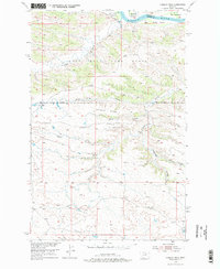
1954 Map of Hessler Ridge
USGS Topo · Published 1976About this map
The Missouri River defines the northern reaches of this mid-century landscape, carving a wide path through the central Montana plains along the border of Fergus and Phillips counties. This 1954 field survey documents a rugged, unpopulated expanse dominated by the Fort Peck Game Range, where the terrain is heavily dissected by intricate drainage systems. Significant landmarks include the high ground of Hessler Ridge and Galhand Ridge, which separate various coulees and gulches that feed toward the river valley.
Find a feature on this map
17 named features on this map. Tap any name to fly to it.
Don’t see what you’re looking for? This feature index may not catch every label — zoom into the map to look around manually.
Map Details
Editions of this 1954 Hessler Ridge Map
3 editions found
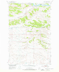
Other maps of this area

1943 · Landusky
USGS Topo · 1:125,000

1954 · Bell Ridge East
USGS Topo · 1:24,000

1954 · Hessler Ridge
USGS Topo · 1:24,000

1954 · Carter Coulee
USGS Topo · 1:24,000

1954 · Bell Ridge West
USGS Topo · 1:24,000

1954 · Grand Island
USGS Topo · 1:24,000

1954 · Lewistown
USGS Topo · 1:250,000

1959 · Lewistown
USGS Topo · 1:250,000

1984 · Zortman
USGS Topo · 1:100,000

1985 · Griffee Coulee
USGS Topo · 1:24,000