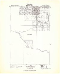
1943 Map of Landusky
USGS Topo · Published 1943About this map
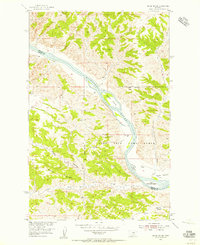
Landusky and the neighboring Landusky Ranch serve as central points in this 1943 military compilation of the Little Rocky Mountains. The landscape is defined by a dense cluster of peaks including Mission Pk, Damon Pk., and Silver Pk., many of which fall within the boundaries of the Jefferson National Forest. This survey, compiled under the direction of Colonel Chas. L. Potter, illustrates the transition from the high ridges of the Fort Belknap Indian Reservation down to the southern flats near the Missouri River. Historical river landmarks like Cow Island, Grand Island, and the Upper California Islands provide a detailed look at the river corridor, while large swaths of the surrounding territory remain marked as unsurveyed, reflecting the remote nature of the Missouri Breaks region during the early 1940s.
Find a feature on this map
25 named features on this map. Tap any name to fly to it.
Don’t see what you’re looking for? This feature index may not catch every label — zoom into the map to look around manually.
Map Details
Editions of this 1943 Landusky Map
This is the sole edition of this map. No revisions or reprints were ever made.
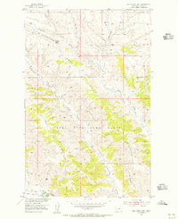
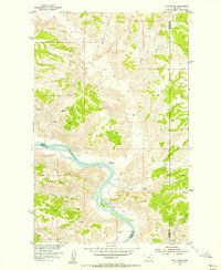
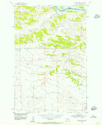
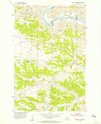
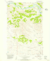
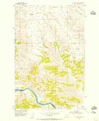
Other maps of this area

1953 · Havre
USGS Topo · 1:250,000
1954 · Bell Ridge East
USGS Topo · 1:24,000
1954 · Cow Island
USGS Topo · 1:24,000
1954 · Hessler Ridge
USGS Topo · 1:24,000
1954 · Baker Monument
USGS Topo · 1:24,000
1954 · Carter Coulee
USGS Topo · 1:24,000
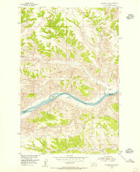
1954 · Sturgeon Island
USGS Topo · 1:24,000
1954 · Bell Ridge West
USGS Topo · 1:24,000
1954 · Grand Island
USGS Topo · 1:24,000

1954 · Lewistown
USGS Topo · 1:250,000
Featured Places
- Lodge Pole, Lodge Pole District
- Hays, Hays District
- DY Junction, MT
- Lodge Pole District, MT
- Hays District, MT