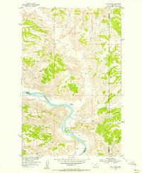
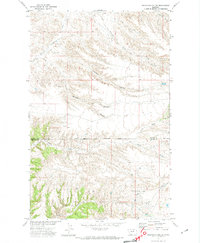
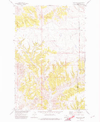
1954 Map of Cow Island
USGS Topo · Published 1956About this map
The Missouri River winds through a landscape defined by dramatic breaks and deeply cut coulees at this mid-century point in Montana history. Along the northern banks, the Kip Homestead represents the persistent footprint of individual settlers in this isolated stretch of the river basin. The river itself is interrupted by the prominent Cow Island, a landmark of early river navigation and trade. Drainage patterns are clearly marked by the convergence of several major tributaries, including Cow Creek, Cabin Creek, and Bull Creek, which carve through the high plains toward the river valley. A simple Jeep Trail provides the primary means of overland movement across the varying elevations, connecting the high ridges like Snake Point to the river bottoms. This survey was conducted as part of the Department of the Interior program for the development of the Missouri River Basin.
Find a feature on this map
13 named features on this map. Tap any name to fly to it.
Don’t see what you’re looking for? This feature index may not catch every label — zoom into the map to look around manually.
Map Details
Editions of this 1954 Cow Island Map
3 editions found
Other maps of this area
1943 · Landusky
USGS Topo · 1:125,000
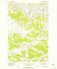
1954 · Baker Monument
USGS Topo · 1:24,000
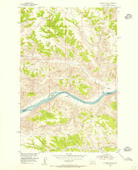
1954 · Sturgeon Island
USGS Topo · 1:24,000
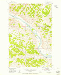
1954 · Grand Island
USGS Topo · 1:24,000

1954 · Lewistown
USGS Topo · 1:250,000

1959 · Lewistown
USGS Topo · 1:250,000
1971 · Crazyman Coulee
USGS Topo · 1:24,000
1971 · John Coulee
USGS Topo · 1:24,000
1971 · Shetland Divide
USGS Topo · 1:24,000
1984 · Zortman
USGS Topo · 1:100,000