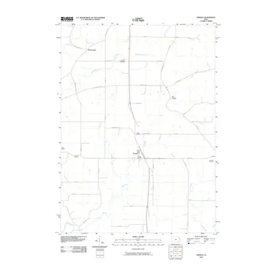
2010 Map of Zwingle
USGS Topo · Published 2010About this map
The small community of Zwingle sits at the intersection of local routes in this eastern Iowa landscape, serving as a central hub with its own Zwingle Post Office and Zwingle Cemetery. The area is notably dense with commemorative sites, including Saint Theresa Cemetery, Assumption Cemetery, and the Presley Presbyterian Cemetery, which hint at the diverse denominational history of the early settlers. To the north, the small settlement of Bennettsville and the landing strip at Kleis Airport suggest the varied rural land use of the period. The drainage of Otter Creek and Buncombe Creek shapes the topography, with a grid of local roads like Bennettsville Rd and Old Davenport Rd connecting these scattered rural outposts. The map reveals a transition between established agricultural life and modern infrastructure, including the alignment of Old Hwy 61 as it cuts through the heart of the region.
Find a feature on this map
42 named features on this map. Tap any name to fly to it.
Don’t see what you’re looking for? This feature index may not catch every label — zoom into the map to look around manually.
Map Details
Editions of this 2010 Zwingle Map
This is the sole edition of this map. No revisions or reprints were ever made.
Other maps of this area

1891 · Maquoketa
USGS Topo · 1:62,500

1891 · Baldwin
USGS Topo · 1:62,500

1901 · Peosta
USGS Topo · 1:125,000

1935 · East Dubuque
USGS Topo · 1:62,500

1940 · East Dubuque
USGS Topo · 1:62,500

1955 · Menominee
USGS Topo · 1:24,000

1955 · Dubuque South
USGS Topo · 1:24,000

1959 · Dubuque
USGS Topo · 1:250,000

1961 · Dubuque
USGS Topo · 1:250,000

1962 · Dubuque
USGS Topo · 1:250,000