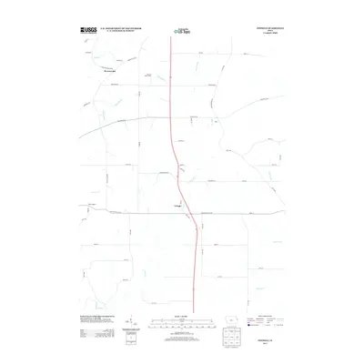
2013 Map of Zwingle
USGS Topo · Published 2013About this map
Zwingle and Bennettsville anchor this rural landscape in eastern Iowa, where a network of gravel roads and state highways connects long-standing agricultural operations and small settlements. The terrain is defined by the winding paths of Buncombe Cr and Otter Cr, which carve through the farmland to create a varied drainage pattern characteristic of the region's topography. Large-scale farming interests like Ambrosy Dairy Farms reflect the modern industrial agriculture present by the early 21st century.
Find a feature on this map
51 named features on this map. Tap any name to fly to it.
Don’t see what you’re looking for? This feature index may not catch every label — zoom into the map to look around manually.
Map Details
Editions of this 2013 Zwingle Map
This is the sole edition of this map. No revisions or reprints were ever made.
Other maps of this area

1891 · Maquoketa
USGS Topo · 1:62,500

1891 · Baldwin
USGS Topo · 1:62,500

1901 · Peosta
USGS Topo · 1:125,000

1935 · East Dubuque
USGS Topo · 1:62,500

1940 · East Dubuque
USGS Topo · 1:62,500

1955 · Menominee
USGS Topo · 1:24,000

1955 · Dubuque South
USGS Topo · 1:24,000

1959 · Dubuque
USGS Topo · 1:250,000

1961 · Dubuque
USGS Topo · 1:250,000

1962 · Dubuque
USGS Topo · 1:250,000