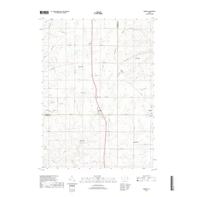
2018 Map of Zwingle
USGS Topo · Published 2018About this map
Zwingle and La Motte anchor this landscape along the border of Dubuque and Jackson counties, reflecting the agricultural and spiritual history of eastern Iowa. The terrain is defined by the drainage systems of Buncombe Cr, Otter Cr, and Farmers Cr, which carve through the countryside. This modern survey captures several significant burial sites essential for genealogical research, including Presley Presbyterian Cem, Saint Theresa Cem, and the Holy Rosary Cem. Near the center of the sheet, Zwingle Cem and Bethel Cem sit close to the village of Zwingle, while Assumption Cem lies to the west near Washington Mills Rd. Transportation and commerce are represented by Kleis Airport and an established network of rural roads like Olde Davenport Rd and Bennettville Rd.
Find a feature on this map
60 named features on this map. Tap any name to fly to it.
Don’t see what you’re looking for? This feature index may not catch every label — zoom into the map to look around manually.
Map Details
Editions of this 2018 Zwingle Map
This is the sole edition of this map. No revisions or reprints were ever made.
Other maps of this area

1891 · Maquoketa
USGS Topo · 1:62,500

1891 · Baldwin
USGS Topo · 1:62,500

1901 · Peosta
USGS Topo · 1:125,000

1935 · East Dubuque
USGS Topo · 1:62,500

1940 · East Dubuque
USGS Topo · 1:62,500

1955 · Menominee
USGS Topo · 1:24,000

1955 · Dubuque South
USGS Topo · 1:24,000

1959 · Dubuque
USGS Topo · 1:250,000

1961 · Dubuque
USGS Topo · 1:250,000

1962 · Dubuque
USGS Topo · 1:250,000