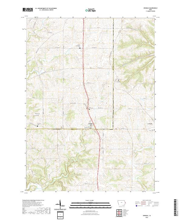
2022 Map of Zwingle
USGS Topo · Published 2022About this map
Zwingle stands at the boundary of Dubuque Co and Jackson Co, serving as a central point for this agricultural landscape. The town is surrounded by a network of rural roads such as Manderscheid Rd and Washington Mills Rd, which connect various family-named homesteads and religious sites. The presence of several distinct cemeteries, including Harmony Cemetery and Bethel Cemetery, provides significant data for genealogical research within these townships.
Find a feature on this map
58 named features on this map. Tap any name to fly to it.
Don’t see what you’re looking for? This feature index may not catch every label — zoom into the map to look around manually.
Map Details
Editions of this 2022 Zwingle Map
This is the sole edition of this map. No revisions or reprints were ever made.
Other maps of this area

1891 · Maquoketa
USGS Topo · 1:62,500

1891 · Baldwin
USGS Topo · 1:62,500

1901 · Peosta
USGS Topo · 1:125,000

1935 · East Dubuque
USGS Topo · 1:62,500

1940 · East Dubuque
USGS Topo · 1:62,500

1955 · Menominee
USGS Topo · 1:24,000

1955 · Dubuque South
USGS Topo · 1:24,000

1959 · Dubuque
USGS Topo · 1:250,000

1961 · Dubuque
USGS Topo · 1:250,000

1962 · Dubuque
USGS Topo · 1:250,000