Old Maps of Pis-Paneu, Chuuk for Genealogy
Trace your family roots with 2 historic maps of Pis-Paneu. These high-res maps reveal old neighborhoods, homesites, landmarks, and streets — helping you uncover where your ancestors lived and how the area evolved over time.
- Explore historic neighborhoods: Identify where your relatives may have lived in the 1800s or 1900s.
- Compare maps over time: Trace the changes in streets, buildings, and landmarks for multi-generational research.
- Perfect for genealogy & ancestry research: Used by family historians and researchers to map out lineage and migration.
These maps are an incredible resource for exploring your personal connection to Pis-Paneu's past.
Pis-Paneu, TRK maps
(2)- 1997 Map of Piis Moen, 2004 Print
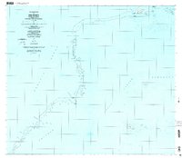 1997 Piis Moen2004 Print · USGSThe northern atolls of the Federated States of Micronesia come into focus in the late nineties, showing the delicate balance of life on the edge of the lagoon. Researchers can trace local settlements from Nukan to Wilton and the maritime passages of Mochonap.
 - 1997 Map of Ruo, 2004 Print
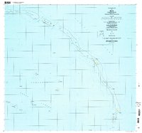 1997 Ruo2004 Print · USGSThe Northeast Islands of Chuuk State appear in fine detail during the late nineties, documenting isolated reef settlements. Genealogists and researchers can trace local island life through locations like Ruo, Sopweru, and the North Bm 2 Ruins.
End of results
Showing maps 1-2 of 2
Frequently asked questions
- What are the different types of historical maps available for Pis-Paneu?
- What is the oldest map of Pis-Paneu?
- Where can I purchase historical maps of Pis-Paneu for my home or office?
- Where can I download high-res historical maps of Pis-Paneu?
- Are there historical topographic maps available for Pis-Paneu?
- Is there historical aerial imagery available for Pis-Paneu?
- Where are historical maps of Pis-Paneu sourced from?