Old Maps of Polle, Chuuk for Academic Research
Study the evolution of Polle with 3 high-resolution historic maps. Whether you're teaching, researching, or modeling changes in land use, these maps provide essential visual documentation of urban, environmental, and geographic change.
- Analyze long-term change: Track patterns in development, transportation, and natural features.
- Ideal for environmental or urban studies: Support academic projects with primary historical map data.
- Use in the classroom or lab: Educators and researchers rely on these maps to bring historical context to life.
These maps are a powerful tool for teaching, research, and visualizing how Polle has changed over the decades.
Polle, TRK maps
(3)- 1983 Map of Unikappi
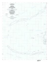 1983 Unikappi1983 Print · USGSMicronesia's island geography is detailed here in the early eighties, showing the traditional settlements of the eastern lagoon. Genealogists and researchers can trace the coastal villages of Unikappi, Nepuachechen, and the isolated islet of Onamue.
 - 1997 Map of Unikappi, 2003 Print
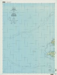 1997 Unikappi2003 Print · USGSThe islands of Pata and Polle are shown in high detail during the late twentieth century as they appeared within the Chuuk Lagoon. Researchers can trace the layout of small settlements like Unikappi, Wichap, and Pukuan along with several local schools.
 - 1997 Map of Tol, 2003 Print
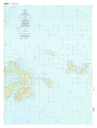 1997 Tol2003 Print · USGSThe islands of Faichuk are mapped here in the late twentieth century, showing the intricate settlement patterns across Chuuk Lagoon. Genealogists and historians can trace local centers like Wichuk, Winisi, and Fanapenges alongside trails and schools.
End of results
Showing maps 1-3 of 3
Frequently asked questions
- What are the different types of historical maps available for Polle?
- What is the oldest map of Polle?
- Where can I purchase historical maps of Polle for my home or office?
- Where can I download high-res historical maps of Polle?
- Are there historical topographic maps available for Polle?
- Is there historical aerial imagery available for Polle?
- Where are historical maps of Polle sourced from?