1997 Map of Tol
USGS Topo · Published 2003About this map
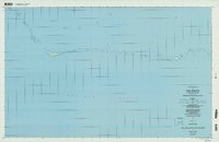
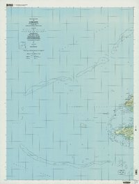
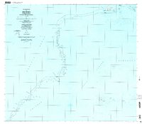
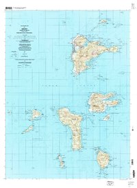
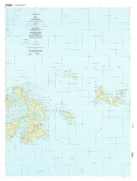
Chuuk Lagoon surrounds the volcanic islands and coral formations of Faichuk in this detailed study of the Federated States of Micronesia. The map illustrates a landscape where traditional coastal settlements like Wichuk, Winisi, and Chorong are connected by a network of trails and unimproved roads. Topographic data captured in the late 1960s was updated with 1997 imagery to show the distribution of schools and houses of worship that serve these island communities. The terrain is defined by prominent elevations such as Chukunon and distinct island regions including Polle and Udot. Smaller islands like Romunum and Fanapenges are shown with their specific village centers, including Nengonon and Awomol. This survey provides a precise record of the shoreline and interior paths before the turn of the millennium, documenting the geography of the former Truk islands.
Find a feature on this map
57 named features on this map. Tap any name to fly to it.
Don’t see what you’re looking for? This feature index may not catch every label — zoom into the map to look around manually.
Map Details
Editions of this 1997 Tol Map
This is the sole edition of this map. No revisions or reprints were ever made.