Old Maps of Maleza Alta, Aguadilla for Genealogy
Trace your family roots with 18 historic maps of Maleza Alta. These high-res maps reveal old neighborhoods, homesites, landmarks, and streets — helping you uncover where your ancestors lived and how the area evolved over time.
- Explore historic neighborhoods: Identify where your relatives may have lived in the 1800s or 1900s.
- Compare maps over time: Trace the changes in streets, buildings, and landmarks for multi-generational research.
- Perfect for genealogy & ancestry research: Used by family historians and researchers to map out lineage and migration.
These maps are an incredible resource for exploring your personal connection to Maleza Alta's past.
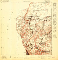
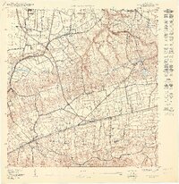
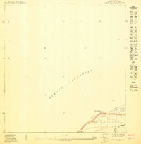
Maleza Alta, Aguadilla maps
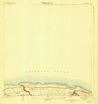
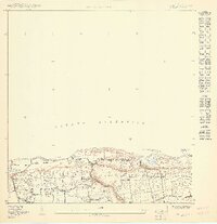
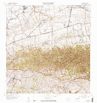
(18)- 1937 Map of Aguadilla
 1937 Aguadilla1937 Print · USGSCovers Maleza Alta, including Aguadilla, Aguada, and other nearby areas
 - 1937 Map of Moca
 1937 Moca1937 Print · USGSCovers Maleza Alta, including Moca, Sector Los Laureles, and other nearby areas2 unique versions available
 - 1941 Map of Moca
 1941 Moca1941 Print · USGSCovers Maleza Alta, including Moca, Praderas del Noroeste, and other nearby areas
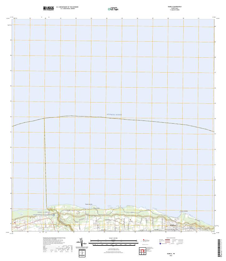
 - 1941 Map of Isabela
 1941 Isabela1941 Print · USGSCovers Maleza Alta, including Isabela, Sector Quique Bravo, and other nearby areas5 unique versions available
 - 1942 Map of Moca
 1942 Moca1942 Print · USGSCovers Maleza Alta, including Moca, Sector Los Laureles, and other nearby areas5 unique versions available
 - 1942 Map of Aguadilla
 1942 Aguadilla1942 Print · USGSCovers Maleza Alta, including Aguadilla, Aguada, and other nearby areas5 unique versions available
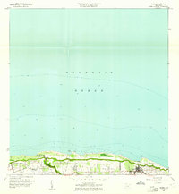
 - 1950 Map of Aguadilla NE
 1950 Aguadilla NE1950 Print · USGSCovers Maleza Alta, including Costa del Mar, Valles del Rocío, and other nearby areas
 - 1950 Map of Moca NO
 1950 Moca NO1950 Print · USGSCovers Maleza Alta, including Reparto Villa y Mar, Sector Zambrana, and other nearby areas
 - 1950 Map of Aguadilla NNE
 1950 Aguadilla NNE1950 Print · USGSCovers Maleza Alta, including Borinquen, Aguadilla, and other nearby areas
 - 1950 Map of Isabela SO
 1950 Isabela SO1950 Print · USGSCovers Maleza Alta, including Reparto Santa María, Sector Quique Bravo, and other nearby areas
 - 1956 Map of Moca, 1959 Print
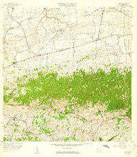 1956 Moca1959 Print · USGSCovers Maleza Alta, including Moca, Sector Los Laureles, and other nearby areas
 - 1960 Map of Isabela, 1961 Print
 1960 Isabela1961 Print · USGSCovers Maleza Alta, including Isabela, Sector Quique Bravo, and other nearby areas4 unique versions available
 - 1960 Map of Aguadilla, 1962 Print
 1960 Aguadilla1962 Print · USGSCovers Maleza Alta, including Aguadilla, Aguada, and other nearby areas5 unique versions available
 - 1964 Map of Moca, 1967 Print
 1964 Moca1967 Print · USGSCovers Maleza Alta, including Moca, Sector Los Laureles, and other nearby areas3 unique versions available
 - 2024 Map of Isabela, 2024 Print
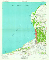
 2024 Isabela2024 Print · USGSCovers Maleza Alta, including Isabela, Reparto Santa María, and other nearby areas
 - 2024 Map of Aguadilla OE N, 2024 Print
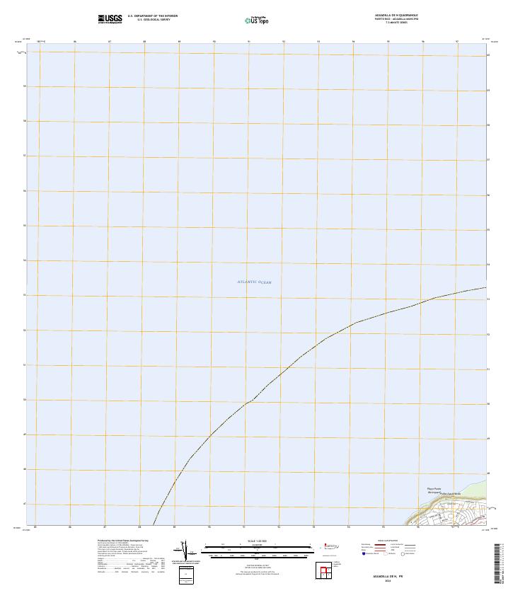 2024 Aguadilla OE N2024 Print · USGSCovers Maleza Alta, including Aguadilla, Puerto Rico, and other nearby areas
 - 2024 Map of Moca, 2024 Print
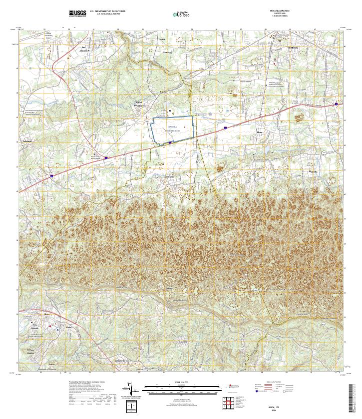 2024 Moca2024 Print · USGSCovers Maleza Alta, including Moca, Sector Tocones, and other nearby areas
 - 2024 Map of Aguadilla, 2024 Print
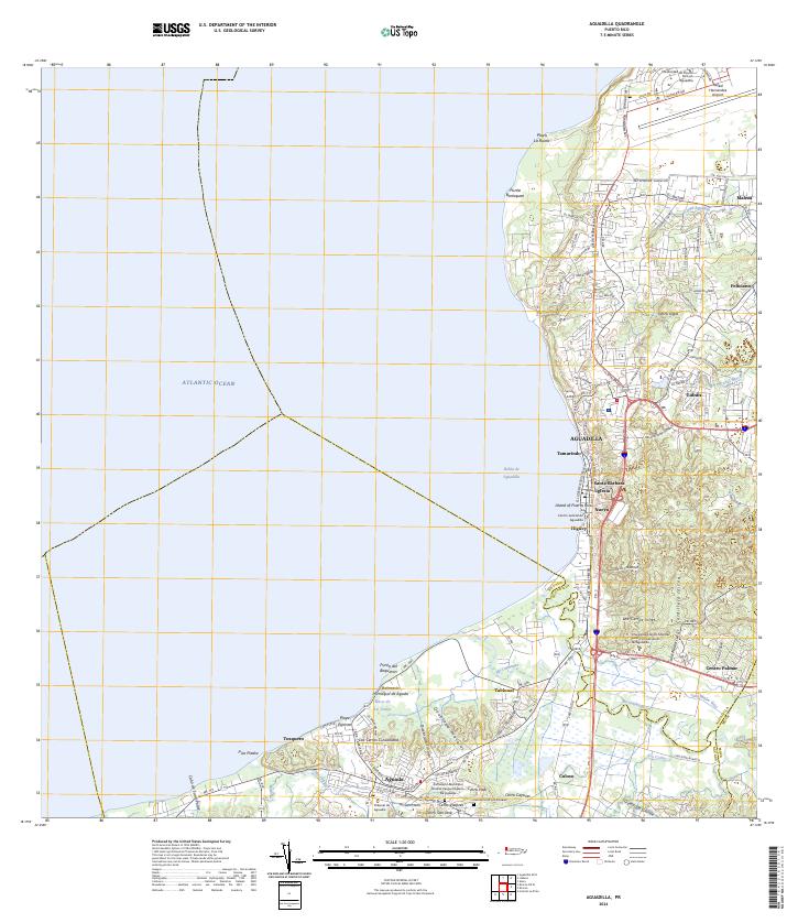 2024 Aguadilla2024 Print · USGSCovers Maleza Alta, including Aguadilla, Aguada, and other nearby areas
End of results
Showing maps 1-18 of 18
Frequently asked questions
- What are the different types of historical maps available for Maleza Alta?
- What is the oldest map of Maleza Alta?
- Where can I purchase historical maps of Maleza Alta for my home or office?
- Where can I download high-res historical maps of Maleza Alta?
- Are there historical topographic maps available for Maleza Alta?
- Is there historical aerial imagery available for Maleza Alta?
- Where are historical maps of Maleza Alta sourced from?