Old Maps of Maleza Alta, Aguadilla for Hiking & Exploration
Hike through history with 18 historic maps of Maleza Alta. Explore old trails, ghost towns, and forgotten backroads — perfect for outdoor adventurers and local explorers.
- Rediscover forgotten places: Map out old mining camps, roads, and footpaths that no longer exist on modern maps.
- Layer with modern tools: Combine with LiDAR or satellite views to plan hikes through historical terrain.
- Made for exploration: Popular among hikers, overlanders, and local history lovers.
Use these maps to find adventure and explore the hidden past of Maleza Alta.
Maleza Alta, Aguadilla maps
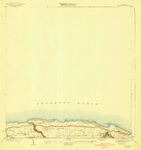
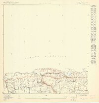
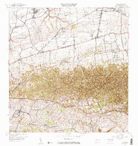
(18)- 1937 Map of Aguadilla
 1937 Aguadilla1937 Print · USGSCovers Maleza Alta, including Aguadilla, Aguada, and other nearby areas
 - 1937 Map of Moca
 1937 Moca1937 Print · USGSCovers Maleza Alta, including Moca, Sector Los Laureles, and other nearby areas2 unique versions available
 - 1941 Map of Moca
 1941 Moca1941 Print · USGSCovers Maleza Alta, including Moca, Praderas del Noroeste, and other nearby areas
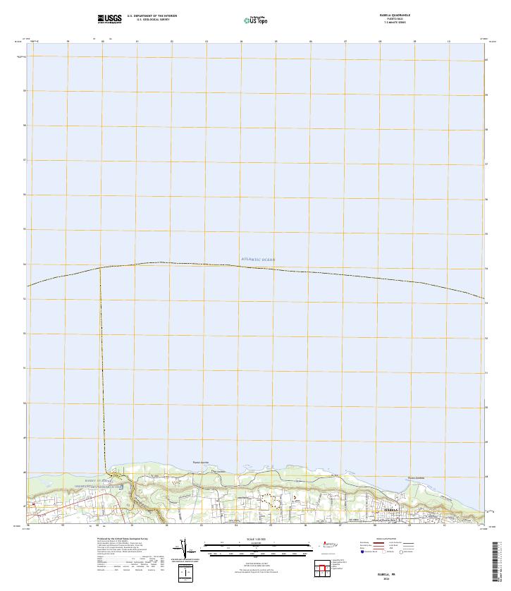
 - 1941 Map of Isabela
 1941 Isabela1941 Print · USGSCovers Maleza Alta, including Isabela, Sector Quique Bravo, and other nearby areas5 unique versions available
 - 1942 Map of Moca
 1942 Moca1942 Print · USGSCovers Maleza Alta, including Moca, Sector Los Laureles, and other nearby areas5 unique versions available
 - 1942 Map of Aguadilla
 1942 Aguadilla1942 Print · USGSCovers Maleza Alta, including Aguadilla, Aguada, and other nearby areas5 unique versions available
 - 1950 Map of Aguadilla NE
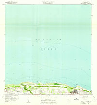
 1950 Aguadilla NE1950 Print · USGSCovers Maleza Alta, including Costa del Mar, Valles del Rocío, and other nearby areas
 - 1950 Map of Moca NO
 1950 Moca NO1950 Print · USGSCovers Maleza Alta, including Reparto Villa y Mar, Sector Zambrana, and other nearby areas
 - 1950 Map of Aguadilla NNE
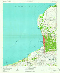
 1950 Aguadilla NNE1950 Print · USGSCovers Maleza Alta, including Borinquen, Aguadilla, and other nearby areas
 - 1950 Map of Isabela SO
 1950 Isabela SO1950 Print · USGSCovers Maleza Alta, including Reparto Santa María, Sector Quique Bravo, and other nearby areas
 - 1956 Map of Moca, 1959 Print
 1956 Moca1959 Print · USGSCovers Maleza Alta, including Moca, Sector Los Laureles, and other nearby areas
 - 1960 Map of Isabela, 1961 Print
 1960 Isabela1961 Print · USGSCovers Maleza Alta, including Isabela, Sector Quique Bravo, and other nearby areas4 unique versions available
 - 1960 Map of Aguadilla, 1962 Print
 1960 Aguadilla1962 Print · USGSCovers Maleza Alta, including Aguadilla, Aguada, and other nearby areas5 unique versions available
 - 1964 Map of Moca, 1967 Print
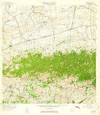
 1964 Moca1967 Print · USGSCovers Maleza Alta, including Moca, Sector Los Laureles, and other nearby areas3 unique versions available
 - 2024 Map of Isabela, 2024 Print
 2024 Isabela2024 Print · USGSCovers Maleza Alta, including Isabela, Reparto Santa María, and other nearby areas
 - 2024 Map of Aguadilla OE N, 2024 Print
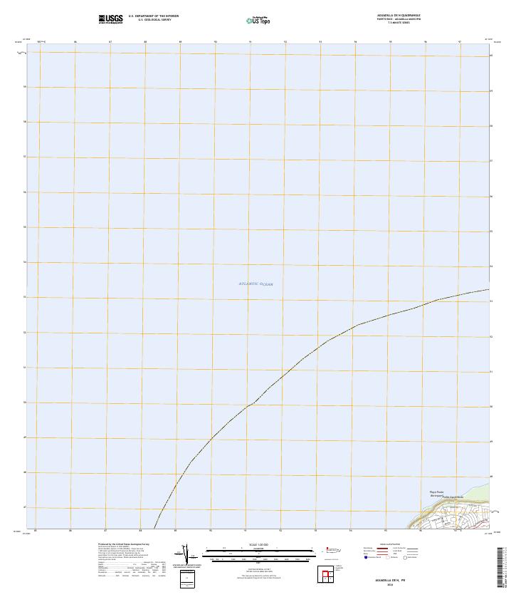 2024 Aguadilla OE N2024 Print · USGSCovers Maleza Alta, including Aguadilla, Puerto Rico, and other nearby areas
 - 2024 Map of Moca, 2024 Print
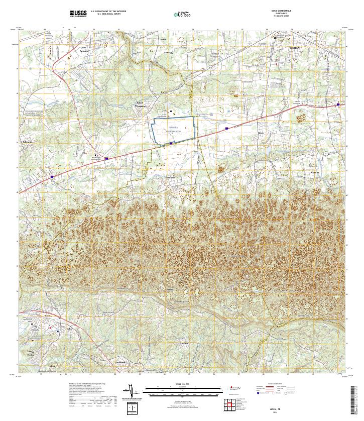 2024 Moca2024 Print · USGSCovers Maleza Alta, including Moca, Sector Tocones, and other nearby areas
 - 2024 Map of Aguadilla, 2024 Print
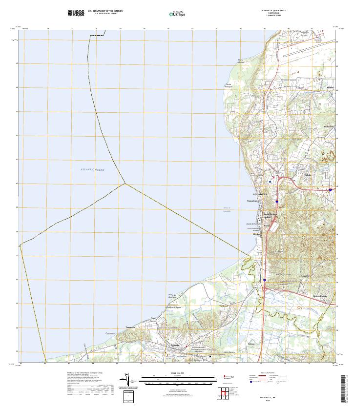 2024 Aguadilla2024 Print · USGSCovers Maleza Alta, including Aguadilla, Aguada, and other nearby areas
End of results
Showing maps 1-18 of 18
Frequently asked questions
- What are the different types of historical maps available for Maleza Alta?
- What is the oldest map of Maleza Alta?
- Where can I purchase historical maps of Maleza Alta for my home or office?
- Where can I download high-res historical maps of Maleza Alta?
- Are there historical topographic maps available for Maleza Alta?
- Is there historical aerial imagery available for Maleza Alta?
- Where are historical maps of Maleza Alta sourced from?