Old Maps of Maleza Alta, Aguadilla for Metal Detecting
Plan your next treasure hunt with 18 historic maps of Maleza Alta. Find old homesites, ghost towns, trails, and gathering spots that may be lost to time — perfect for identifying promising metal detecting locations.
- Locate forgotten sites: Uncover places like long-lost settlements, abandoned rail lines, or gathering spots.
- Plan better hunts: Use map overlays combined with LiDAR or satellite views to narrow in on historically rich areas.
- Made for detectorists: Thousands of hobbyists use these maps to discover relics, coins, and hidden history.
Use these historic maps to boost your research and find new opportunities beneath the surface of Maleza Alta.
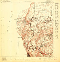
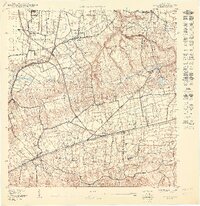
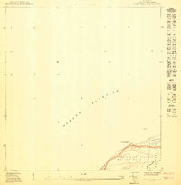
Maleza Alta, Aguadilla maps
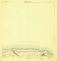
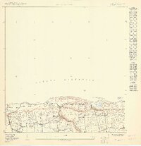
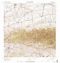
(18)- 1937 Map of Aguadilla
 1937 Aguadilla1937 Print · USGSCovers Maleza Alta, including Aguadilla, Aguada, and other nearby areas
 - 1937 Map of Moca
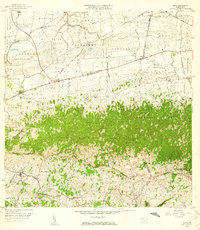
 1937 Moca1937 Print · USGSCovers Maleza Alta, including Moca, Sector Los Laureles, and other nearby areas2 unique versions available
 - 1941 Map of Moca
 1941 Moca1941 Print · USGSCovers Maleza Alta, including Moca, Praderas del Noroeste, and other nearby areas
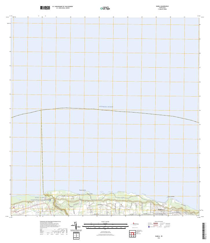
 - 1941 Map of Isabela
 1941 Isabela1941 Print · USGSCovers Maleza Alta, including Isabela, Sector Quique Bravo, and other nearby areas5 unique versions available
 - 1942 Map of Moca
 1942 Moca1942 Print · USGSCovers Maleza Alta, including Moca, Sector Los Laureles, and other nearby areas5 unique versions available
 - 1942 Map of Aguadilla
 1942 Aguadilla1942 Print · USGSCovers Maleza Alta, including Aguadilla, Aguada, and other nearby areas5 unique versions available
 - 1950 Map of Aguadilla NE
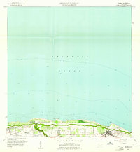
 1950 Aguadilla NE1950 Print · USGSCovers Maleza Alta, including Costa del Mar, Valles del Rocío, and other nearby areas
 - 1950 Map of Moca NO
 1950 Moca NO1950 Print · USGSCovers Maleza Alta, including Reparto Villa y Mar, Sector Zambrana, and other nearby areas
 - 1950 Map of Aguadilla NNE
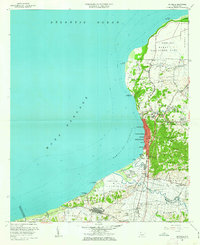
 1950 Aguadilla NNE1950 Print · USGSCovers Maleza Alta, including Borinquen, Aguadilla, and other nearby areas
 - 1950 Map of Isabela SO
 1950 Isabela SO1950 Print · USGSCovers Maleza Alta, including Reparto Santa María, Sector Quique Bravo, and other nearby areas
 - 1956 Map of Moca, 1959 Print
 1956 Moca1959 Print · USGSCovers Maleza Alta, including Moca, Sector Los Laureles, and other nearby areas
 - 1960 Map of Isabela, 1961 Print
 1960 Isabela1961 Print · USGSCovers Maleza Alta, including Isabela, Sector Quique Bravo, and other nearby areas4 unique versions available
 - 1960 Map of Aguadilla, 1962 Print
 1960 Aguadilla1962 Print · USGSCovers Maleza Alta, including Aguadilla, Aguada, and other nearby areas5 unique versions available
 - 1964 Map of Moca, 1967 Print
 1964 Moca1967 Print · USGSCovers Maleza Alta, including Moca, Sector Los Laureles, and other nearby areas3 unique versions available
 - 2024 Map of Isabela, 2024 Print
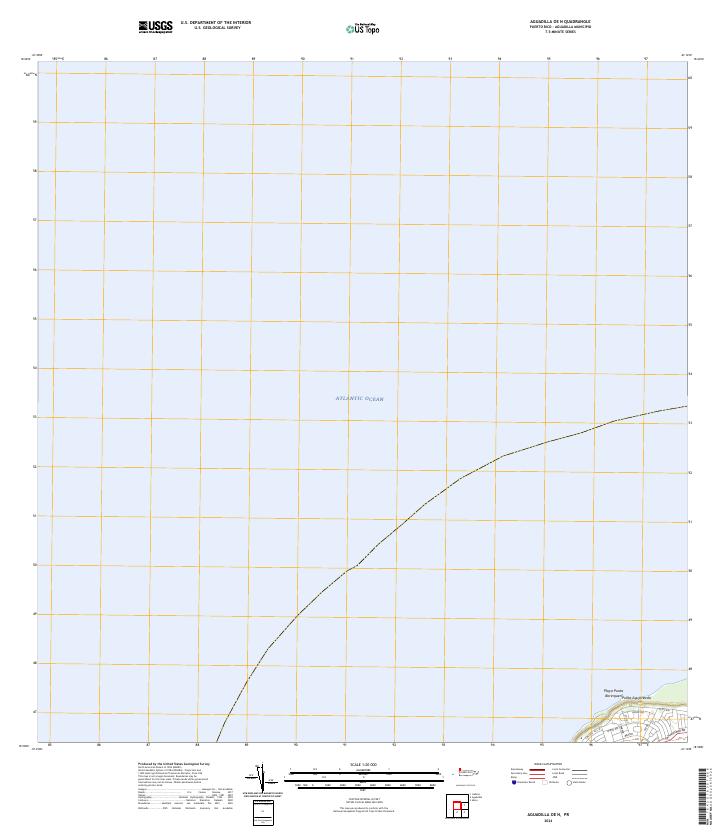
 2024 Isabela2024 Print · USGSCovers Maleza Alta, including Isabela, Reparto Santa María, and other nearby areas
 - 2024 Map of Aguadilla OE N, 2024 Print
 2024 Aguadilla OE N2024 Print · USGSCovers Maleza Alta, including Aguadilla, Puerto Rico, and other nearby areas
 - 2024 Map of Moca, 2024 Print
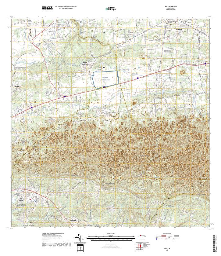 2024 Moca2024 Print · USGSCovers Maleza Alta, including Moca, Sector Tocones, and other nearby areas
 - 2024 Map of Aguadilla, 2024 Print
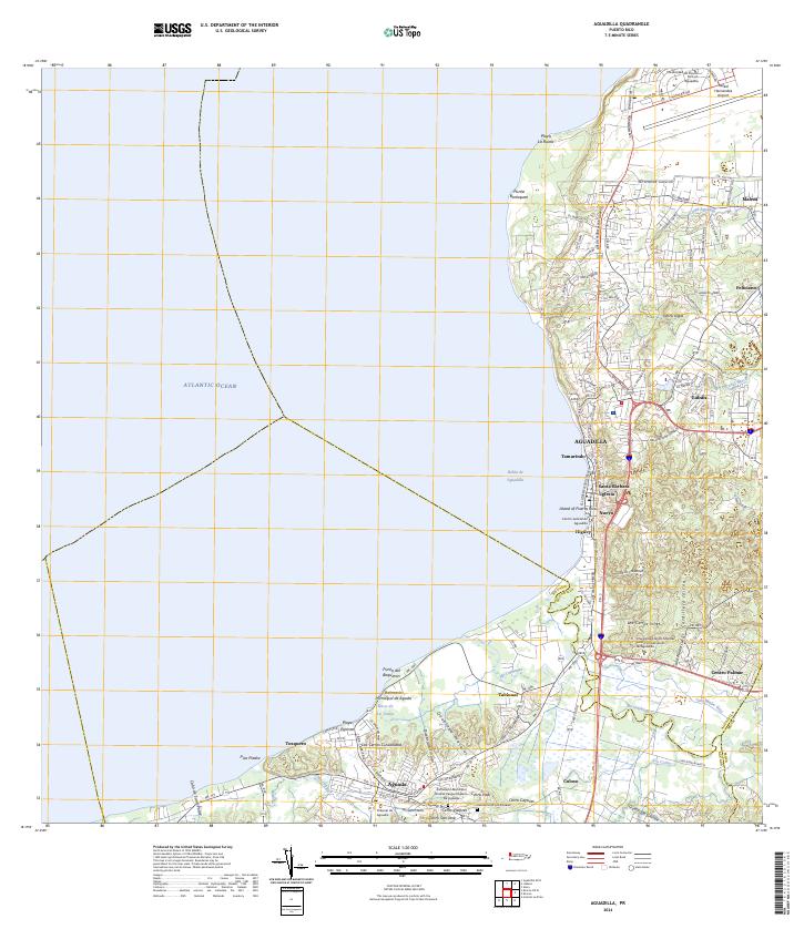 2024 Aguadilla2024 Print · USGSCovers Maleza Alta, including Aguadilla, Aguada, and other nearby areas
End of results
Showing maps 1-18 of 18
Frequently asked questions
- What are the different types of historical maps available for Maleza Alta?
- What is the oldest map of Maleza Alta?
- Where can I purchase historical maps of Maleza Alta for my home or office?
- Where can I download high-res historical maps of Maleza Alta?
- Are there historical topographic maps available for Maleza Alta?
- Is there historical aerial imagery available for Maleza Alta?
- Where are historical maps of Maleza Alta sourced from?