Old Maps of Reparto Aguiar, Aguadilla for Academic Research
Study the evolution of Reparto Aguiar with 7 high-resolution historic maps. Whether you're teaching, researching, or modeling changes in land use, these maps provide essential visual documentation of urban, environmental, and geographic change.
- Analyze long-term change: Track patterns in development, transportation, and natural features.
- Ideal for environmental or urban studies: Support academic projects with primary historical map data.
- Use in the classroom or lab: Educators and researchers rely on these maps to bring historical context to life.
These maps are a powerful tool for teaching, research, and visualizing how Reparto Aguiar has changed over the decades.
Reparto Aguiar, Aguadilla maps
(7)- 1937 Map of Aguadilla
 1937 Aguadilla1937 Print · USGSNorthwestern Puerto Rico during the late 1930s reveals a landscape of coastal settlements and industrial rail lines. Genealogists and historians can trace the foundations of local communities through landmarks like the Iglesia de la Conception and the American railroad route through Coloso.
 - 1942 Map of Aguadilla
 1942 Aguadilla1942 Print · USGSCoastal life in northwest Puerto Rico during the early 1940s centered on the rail lines and rivers of the Aguadilla region. Genealogists and historians can trace family roots through the numerous railroad stops of the American Railroad or locate historical landmarks like the Pta Borinquen L H and the Iglesia Aguadilla.5 unique versions available
 - 1950 Map of Aguadilla NE
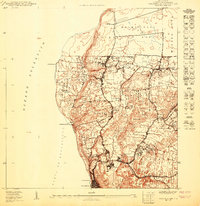 1950 Aguadilla NE1950 Print · USGSThe Aguadilla coastline in the mid-century shows a landscape shaped by the rail industry and military presence. Genealogists and historians can trace the development of housing at Caserío José de Diego and the path of the American Railroad Company of Porto Rico.
 - 1960 Map of Aguadilla, 1962 Print
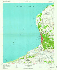 1960 Aguadilla1962 Print · USGSCoastal Aguadilla and the surrounding municipios are shown during a period of significant growth at the start of the 1960s. Researchers can trace the layout of Ramey Air Force Base, find local landmarks like Colegio San Carlos, or follow the Via Del Ferrocarril through Aguada.5 unique versions available
 - 2013 Map of Aguadilla, 2013 Print
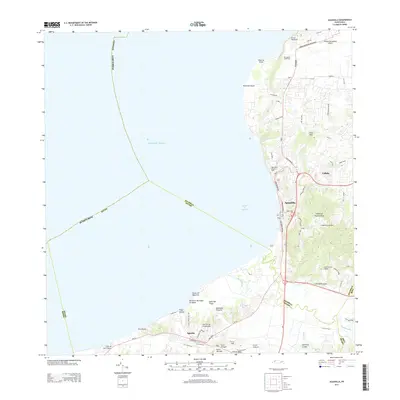 2013 Aguadilla2013 Print · USGSCoastal life and aviation history converge on the western shores of Puerto Rico during the early twenty-first century. Researchers can trace the development of Aguadilla and Aguada alongside prominent landmarks like Rafael Hernandez Airport and the Río Culebrinas.
 - 2018 Map of Aguadilla, 2018 Print
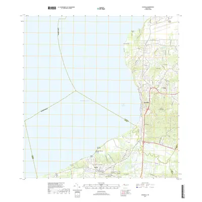 2018 Aguadilla2018 Print · USGSThe northwestern coast of Puerto Rico is captured here in the late twenty-teens, showing the expansion of Aguadilla and Aguada. Researchers can trace the development around the Rafael Hernandez Airport or locate family sites near the Cementerio Los Rosales and Cabán.
 - 2024 Map of Aguadilla, 2024 Print
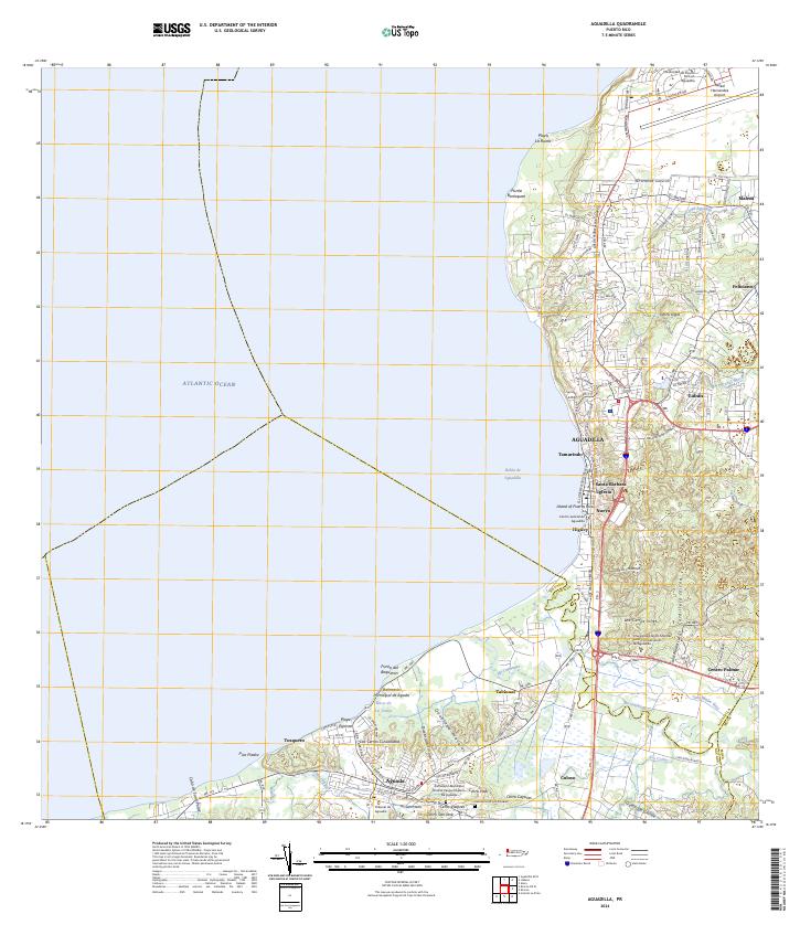 2024 Aguadilla2024 Print · USGSAguadilla and its neighboring coastal settlements are captured here in the early twenty-first century. Researchers can trace family roots at the Cementerio Los Rosales or explore landmarks like the Rafael Hernandez Airport.
End of results
Showing maps 1-7 of 7
Top cities near Reparto Aguiar
- Aguadilla historical maps
- Isabela historical maps
- San Sebastián historical maps
- Quebradillas historical maps
- Añasco historical maps
- Aguada historical maps
See more
Frequently asked questions
- What are the different types of historical maps available for Reparto Aguiar?
- What is the oldest map of Reparto Aguiar?
- Where can I purchase historical maps of Reparto Aguiar for my home or office?
- Where can I download high-res historical maps of Reparto Aguiar?
- Are there historical topographic maps available for Reparto Aguiar?
- Is there historical aerial imagery available for Reparto Aguiar?
- Where are historical maps of Reparto Aguiar sourced from?