Old Maps of Barranquitas for Academic Research
Study the evolution of Barranquitas with 18 high-resolution historic maps. Whether you're teaching, researching, or modeling changes in land use, these maps provide essential visual documentation of urban, environmental, and geographic change.
- Analyze long-term change: Track patterns in development, transportation, and natural features.
- Ideal for environmental or urban studies: Support academic projects with primary historical map data.
- Use in the classroom or lab: Educators and researchers rely on these maps to bring historical context to life.
These maps are a powerful tool for teaching, research, and visualizing how Barranquitas has changed over the decades.
Barranquitas maps
(18)- 1946 Map of Barranquitas
 1946 Barranquitas1946 Print · USGSCentral Puerto Rico during the mid-1940s reveals a landscape of high-elevation settlements and mountain agriculture. Trace rural family roots at Hacienda Córcega or through numerous local schools like Escuela Segunda Unidad de Botijas No 2.3 unique versions available
 - 1946 Map of Comerio
 1946 Comerio1946 Print · USGSThe Puerto Rican interior in the mid-forties shows a landscape of steep coffee-country peaks and river-valley towns. Genealogists can trace family footprints at Cidra, Centro Comunal Nogueras, and the Escuela Segunda Unidad de Toita.3 unique versions available
 - 1947 Map of Barranquitas NE
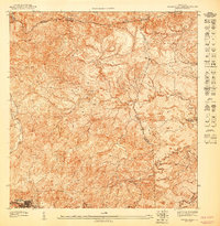 1947 Barranquitas NE1947 Print · USGSThe mountain interior of Puerto Rico in the late 1940s reveals a landscape of steep ridges and municipal crossroads. You can trace the rural school system at Escuela Segunda Unidad de Río Hondo and follow the headwaters of the Río Grande de Manatí.
 - 1947 Map of Barranquitas SE
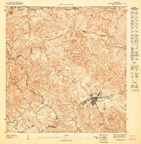 1947 Barranquitas SE1947 Print · USGSThe highlands of central Puerto Rico are captured here in the late 1940s, centered on the growing town of Aibonito. Researchers can trace old mountain roads and rural school sites like Escuela Segunda Unidad del Asomante or landmarks such as Piedra de Degetau.
 - 1947 Map of Comerio SO
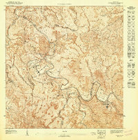 1947 Comerio SO1947 Print · USGSThe central mountains of Puerto Rico are detailed during the late 1940s, showing the early infrastructure of the island's interior. Genealogists and historians can trace local development near Proyecto La Plata and the Escuela Segunda Unidad de Toita.
 - 1947 Map of Barranquitas NO
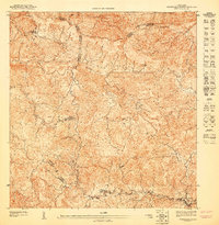 1947 Barranquitas NO1947 Print · USGSThe central cordillera of Puerto Rico comes alive in the 1940s, showing a landscape defined by deep river valleys and high peaks. Genealogists and historians can trace local rural life through the Escuela Segunda Unidad de Palo Hincado and La Torrecilla.
 - 1947 Map of Barranquitas SO
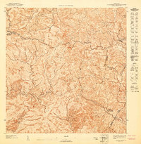 1947 Barranquitas SO1947 Print · USGSThe rural highlands of Coamo and Barranquitas are captured here in the late 1940s as agricultural life centered around family estates and mountain schools. Researchers can trace the grounds of Hacienda Córcega and locate regional landmarks like Cerro Pulguillas or the Escuela Segunda Unidad de Helechal.
 - 1947 Map of Comerio NO, 1948 Print
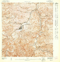 1947 Comerio NO1948 Print · USGSThe mountain interior of Puerto Rico in the late forties reveals a community built along the sharp bends of the Rio de la Plata. Genealogists and historians can trace local homesteads and schools like the Escuela Superior de Comerio and Escuela Segunda Unidad de Palomas.
 - 1953 Map of Comerio
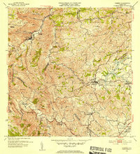 1953 Comerio1953 Print · USGSThe central mountains of Puerto Rico are mapped in the early fifties, showcasing the intricate river valleys and developing rural communities. Genealogists and local historians can trace the foundations of the regional school system and community centers like the Centro Comunal Nogueras, Escuela Superior de Comerio, and Cidra.2 unique versions available
 - 1953 Map of Barranquitas, 1954 Print
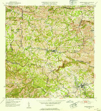 1953 Barranquitas1954 Print · USGSThe heart of the Puerto Rican interior is revealed in the early fifties as a landscape of mountain barrios and growing towns. Researchers can locate dozens of rural landmarks, from Hacienda Córcega to numerous schools like Escuela Segunda Unidad de Botijas No. 2.2 unique versions available
 - 1957 Map of Comerio, 1960 Print
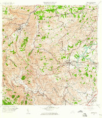 1957 Comerio1960 Print · USGSThe central mountains of Puerto Rico are captured here in the late fifties, showing the relationship between steep-slope agriculture and growing urban centers. Researchers can trace family roots through numerous schools and barrios, from Escuela Segunda Unidad de Palomas to the hills of Sumidero.5 unique versions available
 - 1957 Map of Barranquitas, 1960 Print
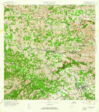 1957 Barranquitas1960 Print · USGSThe central mountains of Puerto Rico are shown here in the mid-fifties, featuring a dense network of rural schools and traditional barrios. Genealogists and historians can trace family roots through the numerous school districts and settlements like Helechal, Hacienda Ortega, and Robles.5 unique versions available
 - 2013 Map of Comerio, 2013 Print
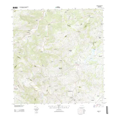 2013 Comerio2013 Print · USGSThe heart of Puerto Rico's mountain interior is captured here just over a decade ago, showing the intersection of river valleys and high peaks. You can trace local road networks and land divisions near Comerío, Cidra, and the reservoir at Lago de Cidra.
 - 2013 Map of Barranquitas, 2013 Print
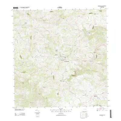 2013 Barranquitas2013 Print · USGSThe mountain towns of the Puerto Rican interior are documented here during a period of modern development. Researchers can trace local heritage through landmarks like the Mausoleo Familia de Muñoz Rivera and the steep terrain of the Canón de San Cristóbal.
 - 2018 Map of Barranquitas, 2018 Print
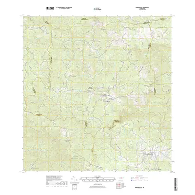 2018 Barranquitas2018 Print · USGSThe mountain town of Barranquitas and the surrounding Cordillera Central are shown in high detail during the late twenty-teens. Researchers can trace local landmarks like the Mausoleo Familia de Muñoz Rivera and the depths of the Cañón de San Cristóbal.
 - 2018 Map of Comerio, 2018 Print
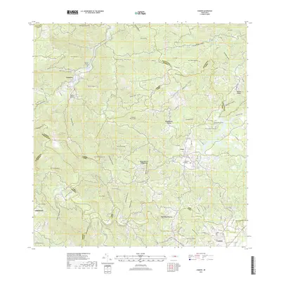 2018 Comerio2018 Print · USGSCovers Barranquitas, including Cidra, Comerío, and other nearby areas
 - 2024 Map of Barranquitas, 2024 Print
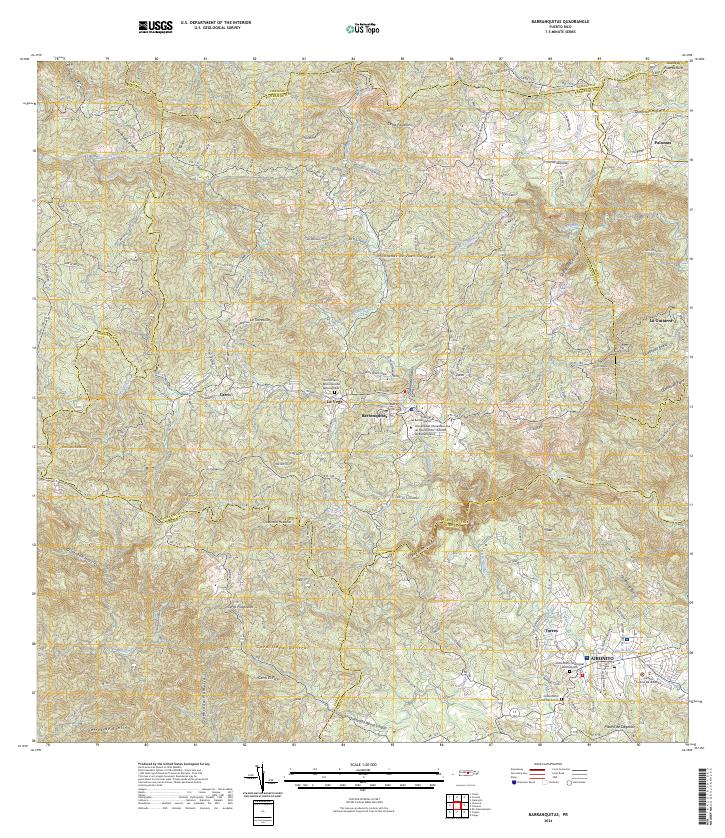 2024 Barranquitas2024 Print · USGSThe central mountains of Puerto Rico are mapped in detail here during the mid-2020s. Researchers can locate civic landmarks like the Tribunal de Barranquitas or trace family sites at the Cementerio Municipal del Campito.
 - 2024 Map of Comerio, 2024 Print
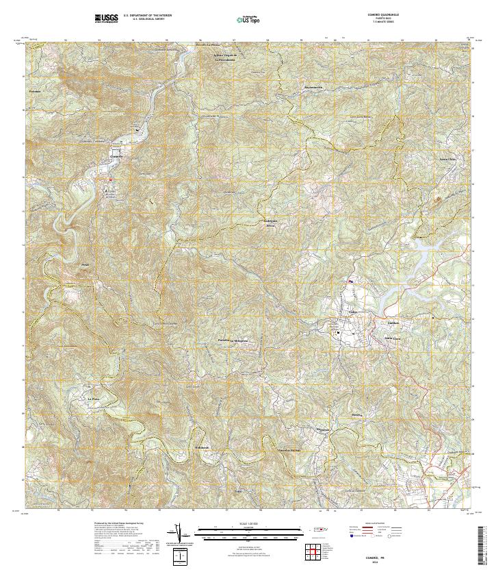 2024 Comerio2024 Print · USGSThe central mountains of Puerto Rico are mapped here in the modern era, focusing on the river valleys and peaks of the Comerío and Cidra districts. Researchers can locate specific sites like the Cementerio Histórico de Comerío and the Iglesia Virgen de la Providencia.
End of results
Showing maps 1-18 of 18
Frequently asked questions
- What are the different types of historical maps available for Barranquitas?
- What is the oldest map of Barranquitas?
- Where can I purchase historical maps of Barranquitas for my home or office?
- Where can I download high-res historical maps of Barranquitas?
- Are there historical topographic maps available for Barranquitas?
- Is there historical aerial imagery available for Barranquitas?
- Where are historical maps of Barranquitas sourced from?