Old Maps of Guavate, Cayey for Hiking & Exploration
Hike through history with 17 historic maps of Guavate. Explore old trails, ghost towns, and forgotten backroads — perfect for outdoor adventurers and local explorers.
- Rediscover forgotten places: Map out old mining camps, roads, and footpaths that no longer exist on modern maps.
- Layer with modern tools: Combine with LiDAR or satellite views to plan hikes through historical terrain.
- Made for exploration: Popular among hikers, overlanders, and local history lovers.
Use these maps to find adventure and explore the hidden past of Guavate.
Guavate, Cayey maps
(17)- 1946 Map of Patillas
 1946 Patillas1946 Print · USGSPatillas and the surrounding mountain ridges come into focus in the mid-1940s as hydroelectric power and agriculture shaped the region. Genealogists and researchers can trace the vicinity of Hacienda Felicita and local schools like Escuela Segunda Unidad de Guamani.2 unique versions available
 - 1946 Map of Caguas
 1946 Caguas1946 Print · USGSCaguas and its surrounding sugar-producing valleys are captured here in the years following World War II. Local historians can trace the early industrial footprint of Central Santa Juana and find ancestral locations near Capilla San Patricio or the rural school at Escuela Segunda Unidad de Turabo.2 unique versions available
 - 1947 Map of Patillas NE
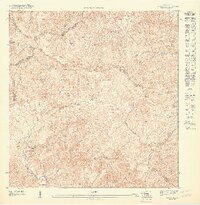 1947 Patillas NE1947 Print · USGSThe interior mountains of southeastern Puerto Rico are captured here in the late 1940s, showing the high-elevation divide of the Sierra de Cayey. Local researchers can trace the early boundaries of the Bosque Insular de Carite and find remote landmarks like Campamento Real and Charco Azul.
 - 1947 Map of Patillas NO
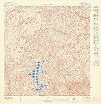 1947 Patillas NO1947 Print · USGSHighland Puerto Rico in the 1940s is defined here by its steep tropical interior and the newly established Lago Carite reservoir. Researchers can trace historic mountain paths like Vereda Los Salchos and identify landmarks like Campamento Guavate.
 - 1947 Map of Caguas SO
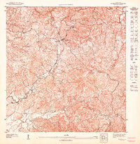 1947 Caguas SO1947 Print · USGSThe mountain interior of Puerto Rico is captured here in the mid-1940s at the intersection of Cidra, Caguas, and Cayey. Genealogists and historians can locate rural homesteads and early landmarks like the Capilla del Sagrado Corazon and the settlement of Beatriz.
 - 1952 Map of Patillas, 1953 Print
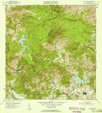 1952 Patillas1953 Print · USGSSoutheastern Puerto Rico is depicted here during the mid-twentieth century, showcasing the vital water and power systems of the Sierra de Cayey. Researchers can locate agricultural landmarks like Hacienda Felicita and public works including the Carite No. 1 hydroelectric plant.2 unique versions available
 - 1952 Map of Caguas, 1953 Print
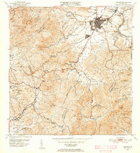 1952 Caguas1953 Print · USGSCaguas and the surrounding interior highlands are captured here in the early fifties, documenting the local sugar economy and mountain settlements. Researchers can locate family landmarks like Central Santa Juana, the Escuela Segunda Unidad de Turabo, and Capilla San Patricio.2 unique versions available
 - 1957 Map of Caguas, 1959 Print
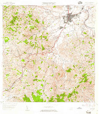 1957 Caguas1959 Print · USGSCaguas and its surrounding mountain barrios are shown here in the late fifties, just as the island's infrastructure was expanding. Genealogists and researchers can trace local landmarks like the Central Santa Juana, the Escuela Segunda Unidad de Turabo, and Capilla San Patricio.2 unique versions available
 - 1960 Map of Patillas, 1962 Print
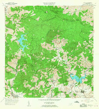 1960 Patillas1962 Print · USGSSoutheast Puerto Rico's mountain interior and the municipality of Patillas are captured here in the early sixties. Researchers can trace the layout of rural mountain life through landmarks like Campamento Guavate and Campamento Real.2 unique versions available
 - 1964 Map of Caguas, 1966 Print
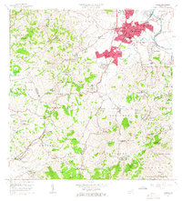 1964 Caguas1966 Print · USGSMid-century Caguas is documented here during a period of rapid suburban growth and civic development. Genealogists and local historians can trace neighborhood foundations like El Condado and El Verde, or locate family landmarks including Escuela Gerardo Sellés Solá and Cementerio de Caguas.4 unique versions available
 - 1972 Map of Patillas, 1974 Print
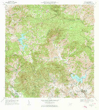 1972 Patillas1974 Print · USGSSoutheast Puerto Rico in the early seventies shows a landscape defined by the Sierra de Cayey and its vital reservoirs. Genealogists and local historians can trace family locations through rural barrios like Yaurel, identify local schools such as Escuela Leonor Ramos, and locate landmarks like Lago Patillas.4 unique versions available
 - 2013 Map of Patillas, 2013 Print
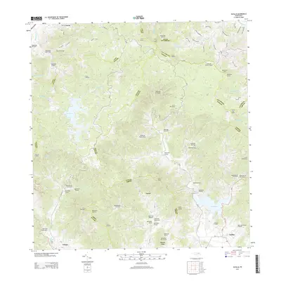 2013 Patillas2013 Print · USGSThe southern Puerto Rican highlands around Patillas are shown in high detail during the early twenty-first century. Genealogists and local historians can trace family roots through settlements like Yaurel or locate rural landmarks such as Campito Los Santos and Lago Patillas.
 - 2013 Map of Caguas, 2013 Print
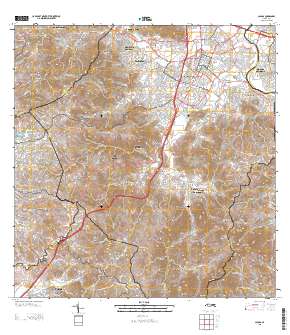 2013 Caguas2013 Print · USGSCovers Guavate, including Caguas, Sector Héctor Rivera, and other nearby areas
 - 2018 Map of Caguas, 2018 Print
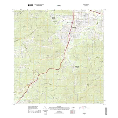 2018 Caguas2018 Print · USGSCaguas is shown in the late 2010s as a major educational and transit hub within the island's interior. Researchers can trace local heritage through the Cementerio de Caguas, the grounds of Hacienda San Jose, or the campuses of Universidad Del Turabo and National Univ College Recinto de Caguas.
 - 2018 Map of Patillas, 2018 Print
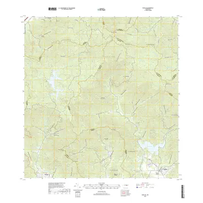 2018 Patillas2018 Print · USGSSoutheast Puerto Rico in the late 2010s is shown here, dominated by the peaks of the Sierra de Cayey and the critical waters of Lago Patillas. Researchers can trace local neighborhoods and landmarks like the Cementerio Municipal de Patillas, Yaurel, and Olimpo.
 - 2024 Map of Patillas, 2024 Print
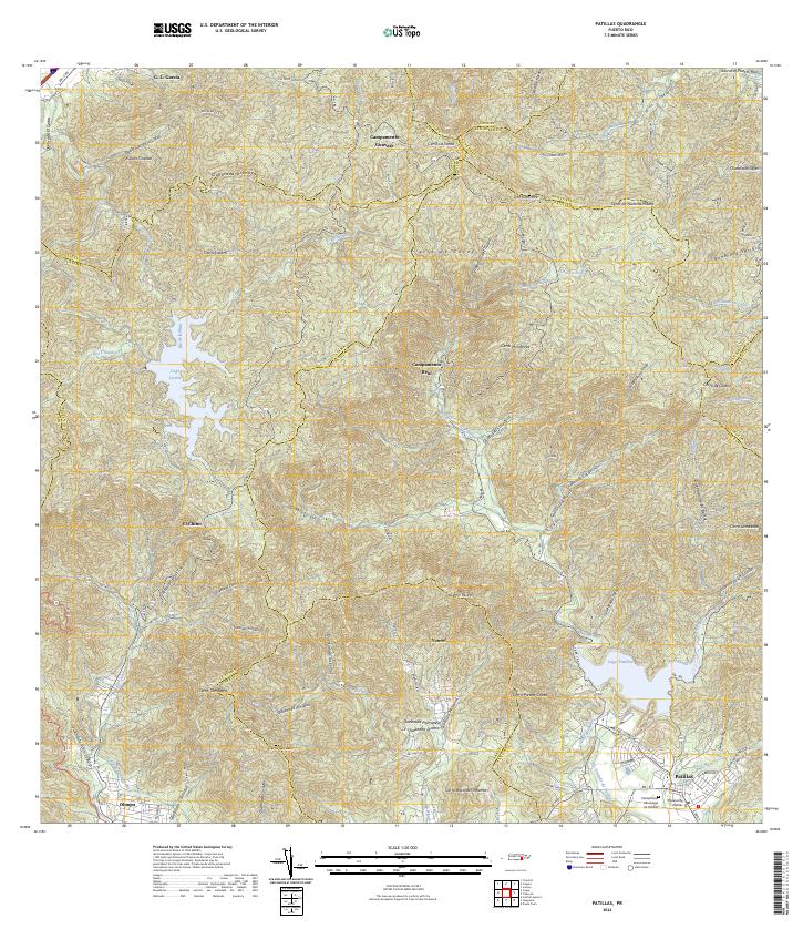 2024 Patillas2024 Print · USGSSoutheastern Puerto Rico is mapped here in the modern day, showing the coastal municipality of Patillas nestled beneath the high Sierra de Cayey. Researchers can trace the local civic layout at the Cementerio Municipal de Patillas or locate rural outposts like Campamento Guavate and Yaurel.
 - 2024 Map of Caguas, 2024 Print
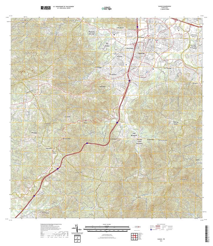 2024 Caguas2024 Print · USGSCaguas and its surrounding hillsides are shown here in the mid-2020s, revealing a landscape where urban growth meets steep tropical terrain. Researchers can locate local landmarks like Hacienda San José, the Liceo de Arte y Comercio, and several municipal cemeteries.
End of results
Showing maps 1-17 of 17
Frequently asked questions
- What are the different types of historical maps available for Guavate?
- What is the oldest map of Guavate?
- Where can I purchase historical maps of Guavate for my home or office?
- Where can I download high-res historical maps of Guavate?
- Are there historical topographic maps available for Guavate?
- Is there historical aerial imagery available for Guavate?
- Where are historical maps of Guavate sourced from?