2000s (21st Century) Maps of Ceiba
Explore 15 historic maps of Ceiba from the 2000s (21st Century). These maps offer a rare glimpse into what life looked like during the 2000s — showing old roads, neighborhoods, homes, and landmarks that have changed or disappeared over time.
Whether you're researching your family's past, planning a metal detecting trip, or studying how Ceiba's landscape evolved across the 2000s, these high-resolution maps are a powerful tool for exploring the history of this region.
- Focus on a specific era: All maps on this page are from the 2000s, giving you a focused view of this time period.
- See what’s changed: Compare century-old streets, trails, and buildings to today's modern landscape using overlays and satellite layers.
- Research with precision: Use these maps for genealogy, historical research, land use analysis, or educational projects.
- View, download, or print: Maps are fully viewable online in high resolution, and can be downloaded or printed for your own records.
Start exploring Ceiba's history through authentic maps from the 2000s. This is your window into the past.
Ceiba maps
(15)- 2013 Map of El Yunque, 2013 Print
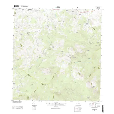 2013 El Yunque2013 Print · USGSCovers Ceiba, including Sector Rosado, Palma Sola, and other nearby areas
 - 2013 Map of Naguabo, 2013 Print
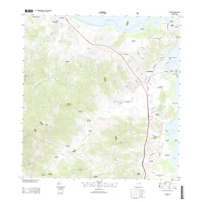
 2013 Naguabo2013 Print · USGSCovers Ceiba, including Naguabo, Estación Botija, and other nearby areas
 - 2013 Map of Isla De Vieques West, 2013 Print
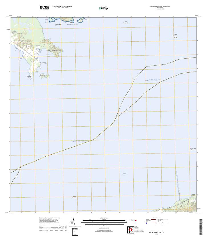
 2013 Isla De Vieques West2013 Print · USGSCovers Ceiba, including Mosquito, Florida, and other nearby areas
 - 2013 Map of Fajardo, 2013 Print
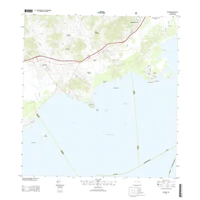
 2013 Fajardo2013 Print · USGSCovers Ceiba, including Fajardo, Ocean Plaza, and other nearby areas
 - 2013 Map of Cayo Icacos, 2013 Print
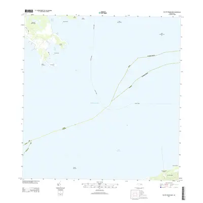
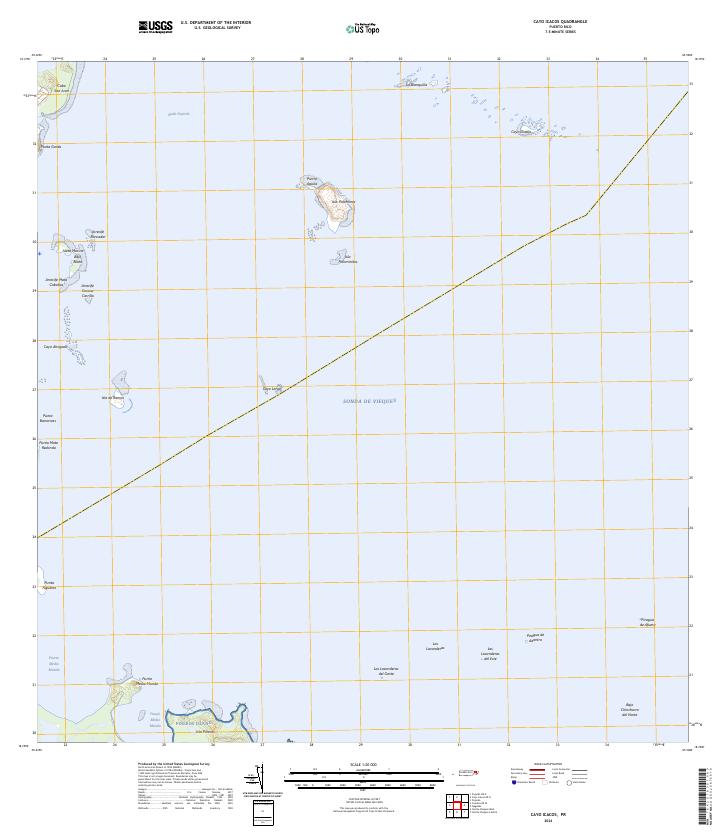
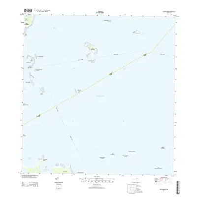 2013 Cayo Icacos2013 Print · USGSCovers Ceiba, including Fajardo, Soroco, and other nearby areas
 - 2018 Map of El Yunque, 2018 Print
 2018 El Yunque2018 Print · USGSCovers Ceiba, including Sector Rosado, Palma Sola, and other nearby areas
 - 2018 Map of Cayo Icacos, 2018 Print
 2018 Cayo Icacos2018 Print · USGSCovers Ceiba, including Fajardo, Soroco, and other nearby areas
 - 2018 Map of Naguabo, 2018 Print
 2018 Naguabo2018 Print · USGSCovers Ceiba, including Naguabo, Estación Botija, and other nearby areas
 - 2018 Map of Fajardo, 2018 Print
 2018 Fajardo2018 Print · USGSCovers Ceiba, including Fajardo, Ocean Plaza, and other nearby areas
 - 2018 Map of Isla De Vieques West, 2018 Print
 2018 Isla De Vieques West2018 Print · USGSCovers Ceiba, including Mosquito, Florida, and other nearby areas
 - 2024 Map of Naguabo, 2024 Print
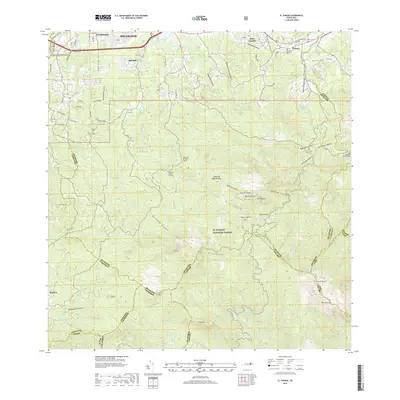
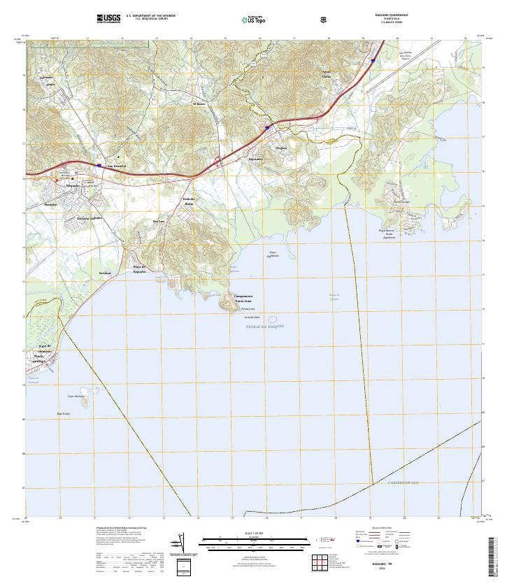 2024 Naguabo2024 Print · USGSThe eastern coast of Puerto Rico is captured here as it meets the Caribbean, showing the interface between the rainforest and the sea. Researchers can trace local history through sites like Viejo Pueblo, the Cementerio Municipal, and the coastal Campamento Punta Lima.
 - 2024 Map of Fajardo, 2024 Print
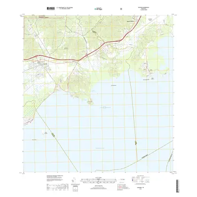
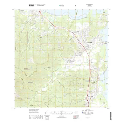
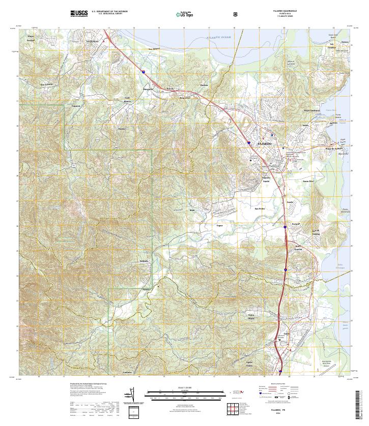 2024 Fajardo2024 Print · USGSNortheast Puerto Rico is shown in great detail here, from the heights of the national forest to the bustling coastal docks. Researchers can locate specific neighborhoods like Espanta Sueño, trace the Quebrada Fajardo, or find the Cementerio De Ceiba.
 - 2024 Map of El Yunque, 2024 Print
 2024 El Yunque2024 Print · USGSEastern Puerto Rico's tropical highlands are mapped here in the modern era, showing the intersection of coastal settlements and mountain wilderness. Researchers can trace local landmarks like Cementerio Municipal Palmer and Campamento Eliza Colberg alongside the peaks of Pico El Yunque.
 - 2024 Map of Cayo Icacos, 2024 Print
 2024 Cayo Icacos2024 Print · USGSCoastal Fajardo and its surrounding islands appear here in contemporary detail, showing the intricate reefs and keys of the eastern shore. Boaters and historians can trace the geography of Isleta Marina, Isla Palominos, and the rugged Pineros Island.
 - 2024 Map of Isla De Vieques West, 2024 Print
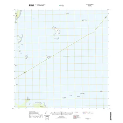
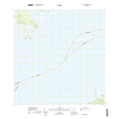
 2024 Isla De Vieques West2024 Print · USGSEastern Puerto Rico and the western edge of Vieques meet in this recent coastal survey. Researchers can trace maritime landmarks from the Puerto de la Libertad David Sanis Rodriguez to offshore points like Isla Piñeros and Cayo Cabritas.
End of results
Showing maps 1-15 of 15
Frequently asked questions
- What are the different types of historical maps available for Ceiba?
- What is the oldest map of Ceiba?
- Where can I purchase historical maps of Ceiba for my home or office?
- Where can I download high-res historical maps of Ceiba?
- Are there historical topographic maps available for Ceiba?
- Is there historical aerial imagery available for Ceiba?
- Where are historical maps of Ceiba sourced from?