Old Maps of Ceiba for Hiking & Exploration
Hike through history with 33 historic maps of Ceiba. Explore old trails, ghost towns, and forgotten backroads — perfect for outdoor adventurers and local explorers.
- Rediscover forgotten places: Map out old mining camps, roads, and footpaths that no longer exist on modern maps.
- Layer with modern tools: Combine with LiDAR or satellite views to plan hikes through historical terrain.
- Made for exploration: Popular among hikers, overlanders, and local history lovers.
Use these maps to find adventure and explore the hidden past of Ceiba.
Ceiba maps
(33)- 1945 Map of El Yunque
 1945 El Yunque1945 Print · USGSThe peaks of the Luquillo range rise sharply in the mid-1940s, showing the interior of the Caribbean National Forest before modern expansion. Genealogists and historians can trace old community sites like Mameyes (Palmer), the Escuela Casiano Cepeda, and the localized activity at La Mina.
 - 1946 Map of El Yunque
 1946 El Yunque1946 Print · USGSNortheastern Puerto Rico is depicted here in the mid-1940s, showcasing the mountainous interior as it rises from the coast. Researchers can trace the trails and summits of the Luquillo National Forest or locate rural landmarks like Mameyes (Palmer) and the Escuela Casiano Cepeda.3 unique versions available
 - 1946 Map of Punta Puerca
 1946 Punta Puerca1946 Print · USGSThe eastern coast of Puerto Rico is shown just after the war, when the Naval Reservation occupied much of the shoreline. Researchers can trace the maritime geography of the Pasaje de Vieques and locate coastal aids like the Faro on Isla Cabras.3 unique versions available
 - 1946 Map of Naguabo
 1946 Naguabo1946 Print · USGSEastern Puerto Rico in the mid-forties reveals a landscape shaped by sugar plantation rail lines and coastal navigation. Genealogists can trace family connections to industrial sites like Colonia San Cristóbal or the coastal village of Shanghai.4 unique versions available
 - 1946 Map of Fajardo
 1946 Fajardo1946 Print · USGSNortheast Puerto Rico is shown just after the war, highlighting a landscape of sugar estates and coastal settlements. Genealogists and historians can trace family locations at Colonia Monserrate, Aldea Cintrón, and the port at Puerto Real.4 unique versions available
 - 1947 Map of El Yunque SE
 1947 El Yunque SE1947 Print · USGSNaguabo and the surrounding peaks are shown during the late 1940s when the forest was managed under its former name. Trace the early trails and landmarks of the Caribbean National Forest, from the summit of Pico El Yunque to the Area Recreo de la Mina.
 - 1947 Map of Naguabo NE
 1947 Naguabo NE1947 Print · USGSCoastal eastern Puerto Rico in the late 1940s reveals a landscape defined by sugar production and naval expansion. Trace the rail lines of the Fajardo Development Company through Colonia Aguas Claras or locate early family sites near Daguao and Ceiba.11 unique versions available
 - 1952 Map of El Yunque, 1953 Print
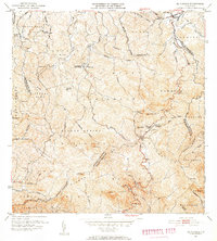 1952 El Yunque1953 Print · USGSThe peaks of the Sierra de Luquillo are mapped here in the early fifties during a period of expanding forest management and rural education. Researchers can locate early forest facilities like the Area Recreo de la Mina and local landmarks like Escuela Malpica.2 unique versions available
 - 1952 Map of Punta Puerca, 1953 Print
 1952 Punta Puerca1953 Print · USGSThe Ceiba coastline in the early fifties shows a landscape of military readiness and maritime navigation. Trace the early boundaries of Naval Reservation Machos and locate offshore landmarks like the Faro on Isla Cabras and Isla Piñeros.2 unique versions available
 - 1952 Map of Naguabo, 1953 Print
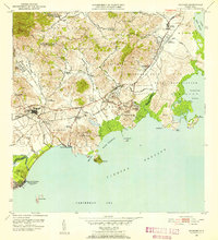 1952 Naguabo1953 Print · USGSIn the early fifties, eastern Puerto Rico was a landscape of coastal military outposts and sugar colonies. Researchers can trace the FERROCARRILES DEL ESTE rail line as it connects Naguabo to rural centers like Hacienda Grande and Fort Bundy.2 unique versions available
 - 1952 Map of Fajardo, 1953 Print
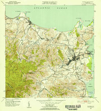 1952 Fajardo1953 Print · USGSNortheastern Puerto Rico in the early fifties reveals a landscape dominated by the sugar industry and coastal development. Genealogists and historians can locate numerous family-named estates like Colonia San Miguel or Colonia Josefa, and trace the path of the FAJARDO DEVELOPMENT railroad.2 unique versions available
 - 1957 Map of Naguabo, 1960 Print
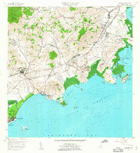 1957 Naguabo1960 Print · USGSCoastal Puerto Rico in the late fifties shows a landscape of military expansion and sugar rail networks. Genealogists and historians can locate family landmarks like Escuela Mariana and Hacienda Grande, or trace the tracks of the Fajardo Eastern Sugar Associates.
 - 1957 Map of Punta Puerca, 1960 Print
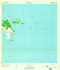 1957 Punta Puerca1960 Print · USGSThe Ceiba coastline was a critical military and maritime hub during the late fifties, centered on the Roosevelt Roads Naval Reservation. You can trace the 1950s shoreline from Punta Figueras to the rocky outcrops of Isla Cabras and Isla Piñeros.4 unique versions available
 - 1958 Map of El Yunque, 1960 Print
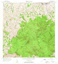 1958 El Yunque1960 Print · USGSThe rainforest peaks and coastal valleys of eastern Puerto Rico are captured here in the late fifties. Genealogists and researchers can trace rural life at Mameyes or locate local landmarks like the Escuela Malpica and the old Mina workings.
 - 1958 Map of Fajardo, 1960 Print
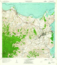 1958 Fajardo1960 Print · USGSThe northeastern coast of Puerto Rico in the late fifties shows a landscape of growing port towns and deep-rooted agricultural barrios. Researchers can trace family ties through Pueblo Norte, find coastal landmarks like Playa Sardinera, and locate the early boundaries of the Roosevelt Roads Naval Reservation.
 - 1962 Map of Fajardo, 1965 Print
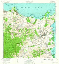 1962 Fajardo1965 Print · USGSCoastal Fajardo and Luquillo appear in the early 1960s as the region balanced its fishing and maritime heritage with growing federal and municipal infrastructure. Trace the early boundaries of Puerto Real, the Roosevelt Roads Naval Reservation, and local schools like Escuela Rio Chiquito.6 unique versions available
 - 1967 Map of El Yunque, 1969 Print
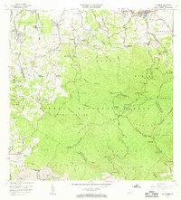 1967 El Yunque1969 Print · USGSThe Luquillo Mountains of Puerto Rico appear here in the late sixties as the island’s mountain interior and coastal barrios continued to develop. Researchers can trace rural school locations like Escuela Morovis and forest landmarks like Pico El Yunque.4 unique versions available
 - 1967 Map of Naguabo, 1970 Print
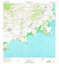 1967 Naguabo1970 Print · USGSThe eastern coast of Puerto Rico is shown here in the late sixties, balancing military expansion with local rural life. Researchers can trace the layout of the Roosevelt Roads Naval Reservation and locate sites like Estación Botija or Fort Bundy.3 unique versions available
 - 2013 Map of El Yunque, 2013 Print
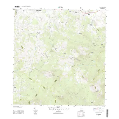 2013 El Yunque2013 Print · USGSThe rainforest peaks and northern foothills of Puerto Rico are meticulously detailed in this early twenty-first-century survey. Researchers can trace the winding paths to the Torre de Yokahú or locate small settlements like Palmer and Benitez at the forest edge.
 - 2013 Map of Naguabo, 2013 Print
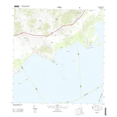 2013 Naguabo2013 Print · USGSThe eastern coast of Puerto Rico is detailed here during a period of modern infrastructure expansion and coastal development. Researchers can trace the drainage of Río Blanco into the Puerto de Naguabo or locate offshore landmarks like Cayo Santiago.
 - 2013 Map of Isla De Vieques West, 2013 Print
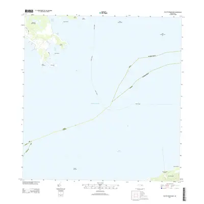 2013 Isla De Vieques West2013 Print · USGSThe eastern coast of Puerto Rico and the northern shore of Vieques are shown here in the early twenty-first century, joined by vital maritime routes. Nautical researchers can trace the passages near Desembarcadero Mosquito, Punta Puerca, and Radas Roosevelt.
 - 2013 Map of Fajardo, 2013 Print
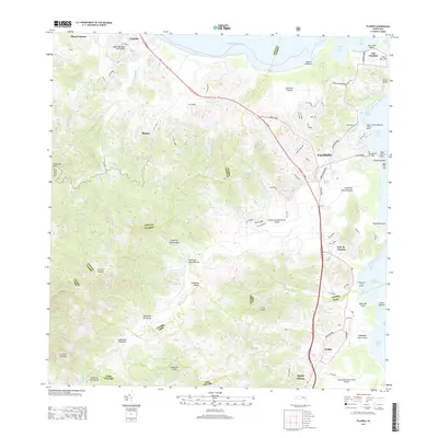 2013 Fajardo2013 Print · USGSNortheast Puerto Rico during the early 2000s showcases a dense network of coastal marinas and expanding regional airports. Researchers can trace the development of Fajardo and Luquillo, locate the Diego Jimenez Torres Airport, and explore the shoreline from Cabo San Juan to Ceiba.
 - 2013 Map of Cayo Icacos, 2013 Print
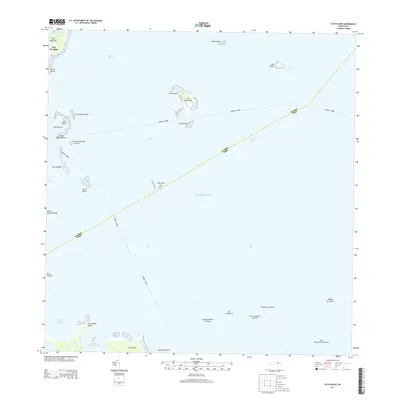 2013 Cayo Icacos2013 Print · USGSThe northeastern coast of Puerto Rico and its surrounding keys are shown here in the early twenty-first century. Researchers can trace the maritime boundaries of Fajardo - Culebra and locate coastal landmarks like Las Croabas and Isla Palominos.
 - 2018 Map of El Yunque, 2018 Print
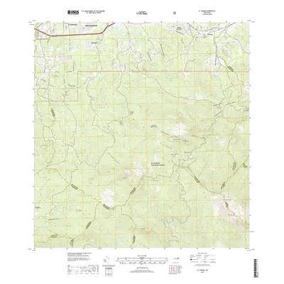 2018 El Yunque2018 Print · USGSThe rainforest peaks and northern foothills of northeastern Puerto Rico are shown here in the late 2010s. Researchers can locate specific high-altitude landmarks like Pico El Yunque and Monte Britton or trace local history at the Cementerio Municipal Palmer and Hato Candal.
 - 2018 Map of Cayo Icacos, 2018 Print
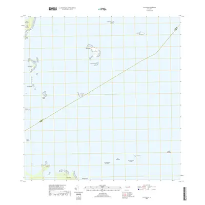 2018 Cayo Icacos2018 Print · USGSCoastal Fajardo and its surrounding archipelago are captured here in the late twenty-tens, showing the vital maritime geography of the Sonda De Vieques. Researchers can trace the reefs and cays of this island chain, from the fishing village of Las Croabas to the distant shores of Isla Palominos and Isla Piñeros.
Showing maps 1-25 of 33
Frequently asked questions
- What are the different types of historical maps available for Ceiba?
- What is the oldest map of Ceiba?
- Where can I purchase historical maps of Ceiba for my home or office?
- Where can I download high-res historical maps of Ceiba?
- Are there historical topographic maps available for Ceiba?
- Is there historical aerial imagery available for Ceiba?
- Where are historical maps of Ceiba sourced from?