Old Maps of Celina, Ceiba for Metal Detecting
Plan your next treasure hunt with 8 historic maps of Celina. Find old homesites, ghost towns, trails, and gathering spots that may be lost to time — perfect for identifying promising metal detecting locations.
- Locate forgotten sites: Uncover places like long-lost settlements, abandoned rail lines, or gathering spots.
- Plan better hunts: Use map overlays combined with LiDAR or satellite views to narrow in on historically rich areas.
- Made for detectorists: Thousands of hobbyists use these maps to discover relics, coins, and hidden history.
Use these historic maps to boost your research and find new opportunities beneath the surface of Celina.
Celina, Ceiba maps
(8)- 1946 Map of Naguabo
 1946 Naguabo1946 Print · USGSEastern Puerto Rico in the mid-forties reveals a landscape shaped by sugar plantation rail lines and coastal navigation. Genealogists can trace family connections to industrial sites like Colonia San Cristóbal or the coastal village of Shanghai.4 unique versions available
 - 1947 Map of Naguabo NE
 1947 Naguabo NE1947 Print · USGSCoastal eastern Puerto Rico in the late 1940s reveals a landscape defined by sugar production and naval expansion. Trace the rail lines of the Fajardo Development Company through Colonia Aguas Claras or locate early family sites near Daguao and Ceiba.11 unique versions available
 - 1952 Map of Naguabo, 1953 Print
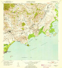 1952 Naguabo1953 Print · USGSIn the early fifties, eastern Puerto Rico was a landscape of coastal military outposts and sugar colonies. Researchers can trace the FERROCARRILES DEL ESTE rail line as it connects Naguabo to rural centers like Hacienda Grande and Fort Bundy.2 unique versions available
 - 1957 Map of Naguabo, 1960 Print
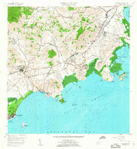 1957 Naguabo1960 Print · USGSCoastal Puerto Rico in the late fifties shows a landscape of military expansion and sugar rail networks. Genealogists and historians can locate family landmarks like Escuela Mariana and Hacienda Grande, or trace the tracks of the Fajardo Eastern Sugar Associates.
 - 1967 Map of Naguabo, 1970 Print
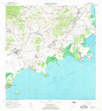 1967 Naguabo1970 Print · USGSThe eastern coast of Puerto Rico is shown here in the late sixties, balancing military expansion with local rural life. Researchers can trace the layout of the Roosevelt Roads Naval Reservation and locate sites like Estación Botija or Fort Bundy.3 unique versions available
 - 2013 Map of Fajardo, 2013 Print
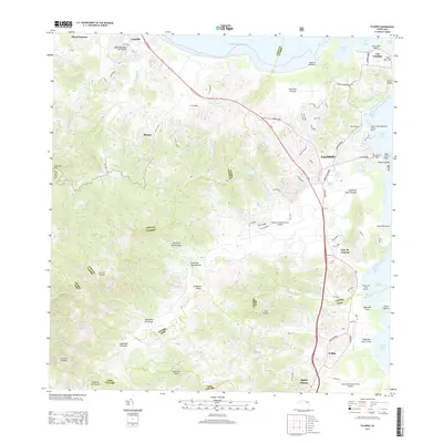 2013 Fajardo2013 Print · USGSNortheast Puerto Rico during the early 2000s showcases a dense network of coastal marinas and expanding regional airports. Researchers can trace the development of Fajardo and Luquillo, locate the Diego Jimenez Torres Airport, and explore the shoreline from Cabo San Juan to Ceiba.
 - 2018 Map of Fajardo, 2018 Print
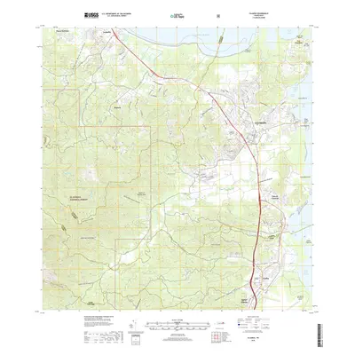 2018 Fajardo2018 Print · USGSThe northeastern coast of Puerto Rico is captured here in the late 2010s, showing the bustling port of Fajardo alongside the protected peaks of the forest. Researchers can trace local heritage at the Cementerio de Fajardo or locate old coastal settlements such as Las Croabas and Playa Fortuna.
 - 2024 Map of Fajardo, 2024 Print
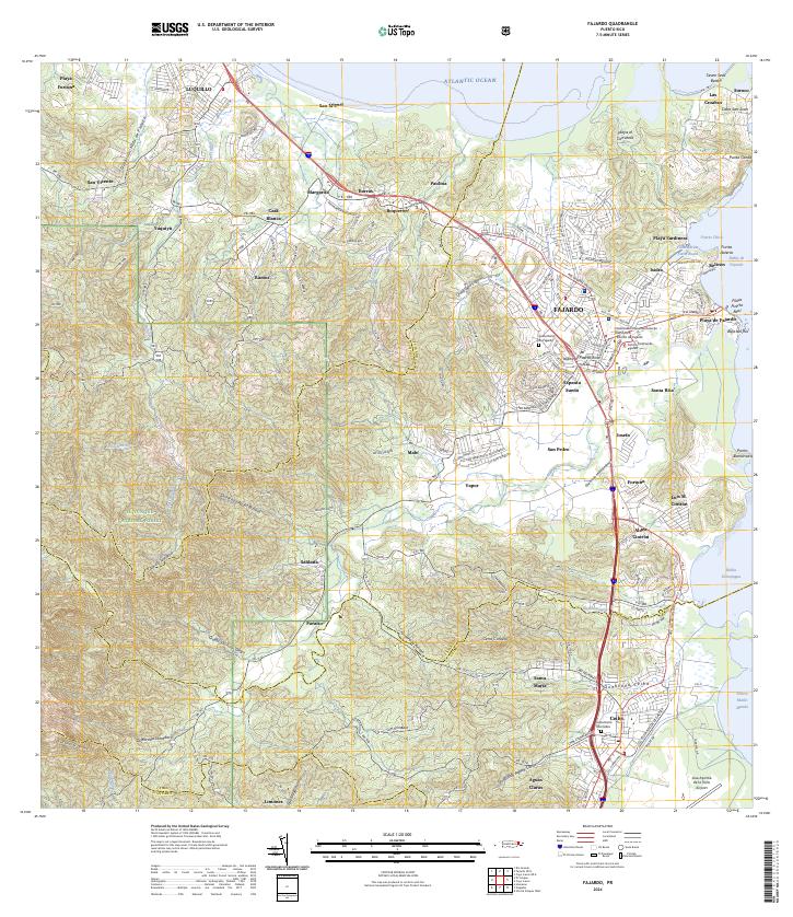 2024 Fajardo2024 Print · USGSNortheast Puerto Rico is shown in great detail here, from the heights of the national forest to the bustling coastal docks. Researchers can locate specific neighborhoods like Espanta Sueño, trace the Quebrada Fajardo, or find the Cementerio De Ceiba.
End of results
Showing maps 1-8 of 8
Frequently asked questions
- What are the different types of historical maps available for Celina?
- What is the oldest map of Celina?
- Where can I purchase historical maps of Celina for my home or office?
- Where can I download high-res historical maps of Celina?
- Are there historical topographic maps available for Celina?
- Is there historical aerial imagery available for Celina?
- Where are historical maps of Celina sourced from?