Old Maps of Estancias Fullana, Ciales
Explore 7 old maps of Estancias Fullana, spanning from 1946 to today. These high-resolution historic maps reveal how streets, neighborhoods, landmarks, and natural features evolved over time — perfect for genealogy, metal detecting, research, and local history exploration.
What you can do with these maps:
- See how Estancias Fullana changed over time: Compare historical maps to modern-day views to trace roads, homesites, rail lines & more.
- View detailed metadata: Each map includes creators, publishers, year, scale, and archive source.
- Overlay maps with satellite & LiDAR: Visualize the past alongside modern tools to explore terrain & human change.
- Trusted historical sources: Maps sourced from the USGS, Library of Congress, and other archives.
- Access maps your way: View online, download high-res files, or order prints for personal or research use.
Start exploring old maps of Estancias Fullana to uncover forgotten places, hidden landmarks, and the deep history beneath your feet.
Estancias Fullana, Ciales maps
(7)- 1946 Map of Ciales
 1946 Ciales1946 Print · USGSThe mountainous terrain of central Puerto Rico comes alive in this post-war survey of the river valleys and peaks. Genealogists can trace family connections to rural barrios and landmarks like Hacienda Maria, Iglesia San Antonio, or the Escuela Segunda Unidad de Pesas.
 - 1947 Map of Ciales SO
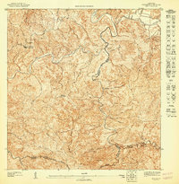 1947 Ciales SO1947 Print · USGSHigh in the interior of Puerto Rico during the 1940s, this survey captures the convergence of three municipalities along the Rio Grande de Manati. Local researchers can trace old mountain routes near the Escuela Segunda Unidad de Pesas and Capilla del Carmen.
 - 1953 Map of Ciales
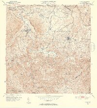 1953 Ciales1953 Print · USGSThe northern foothills of central Puerto Rico are captured here in the mid-fifties, showing the developed town centers of Ciales and Morovis. Genealogists can trace local landmarks like Hacienda Maria, the Iglesia del Nino Jesus, and the Escuela Segunda Unidad de Pesas.
 - 1957 Map of Ciales, 1959 Print
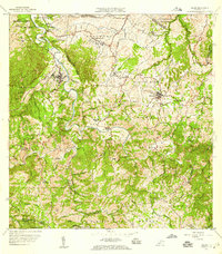 1957 Ciales1959 Print · USGSIn the late fifties, the central highlands of Puerto Rico maintained a landscape of steep coffee-country peaks and river-bound barrios. Researchers can trace local genealogy through rural schools like Escuela Barahona and parish sites such as Iglesia San Antonio.5 unique versions available
 - 2013 Map of Ciales, 2013 Print
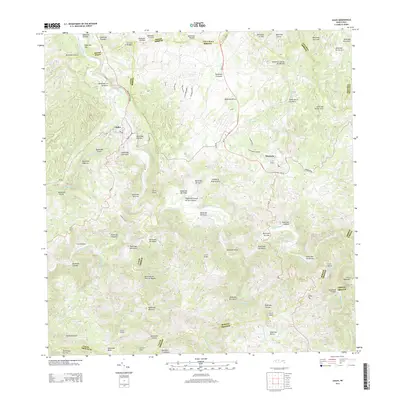 2013 Ciales2013 Print · USGSThe interior highlands of central Puerto Rico are shown here in the early twenty-first century, centered on the bustling municipalities of Ciales and Morovis. Researchers can trace local landmarks like La Chorrera and the numerous peaks including Cerro Purrón and Cerro Avispa.
 - 2018 Map of Ciales, 2018 Print
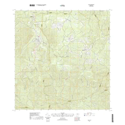 2018 Ciales2018 Print · USGSThe highland municipalities of Ciales and Morovis are shown in detail as they appeared in 2018. Researchers can trace the winding course of the Río Grande de Manatí and locate local landmarks like the Cementerio de Ciales and Cerro de la Bandera.
 - 2024 Map of Ciales, 2024 Print
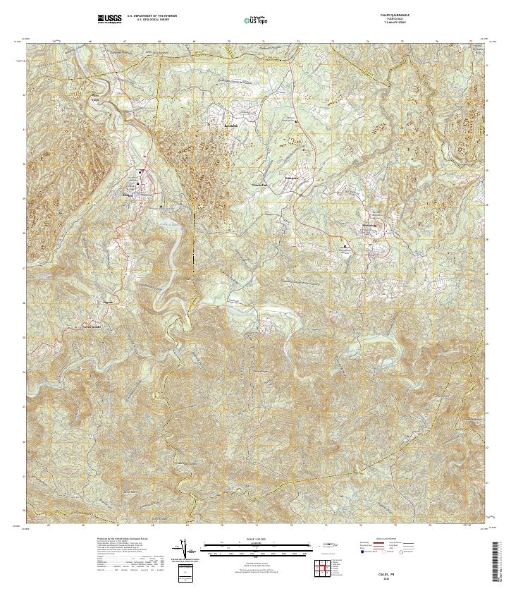 2024 Ciales2024 Print · USGSCiales and Morovis are documented in this contemporary survey of the Puerto Rican interior. Researchers can locate civic landmarks and burial grounds such as the Tribunal de Ciales, Morovis National Cem, and the Cementerio Municipal de Morovis.
End of results
Showing maps 1-7 of 7
Top cities near Estancias Fullana
- Vega Baja historical maps
- Dorado historical maps
- Manatí historical maps
- Corozal historical maps
- Vega Alta historical maps
- Aibonito historical maps
See more
Frequently asked questions
- What are the different types of historical maps available for Estancias Fullana?
- What is the oldest map of Estancias Fullana?
- Where can I purchase historical maps of Estancias Fullana for my home or office?
- Where can I download high-res historical maps of Estancias Fullana?
- Are there historical topographic maps available for Estancias Fullana?
- Is there historical aerial imagery available for Estancias Fullana?
- Where are historical maps of Estancias Fullana sourced from?