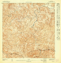
1947 Map of Ciales SO
USGS Topo · Published 1947About this map
The Rio Grande de Manati carves through a deeply dissected landscape where the boundaries of Ciales, Morovis, and Orocovis converge. This 1940s topography reveals a rural interior defined by its complex network of waterways, with the Rio Bauta and numerous quebradas—including Quebrada Manicaboa and Quebrada del Toro—dictating the placement of early roads and small settlements. The elevation peaks at prominent landmarks such as Cerro Cedro and Cerro El Gato, while community life centers around the Capilla del Carmen and the Escuela Segunda Unidad de Pesas. The sheer density of named creeks, such as Quebrada de la Mina and Quebrada San Lorenzo, illustrates the importance of water access for the mountain economy of the era before modern infrastructure reached these interior highlands.
Find a feature on this map
32 named features on this map. Tap any name to fly to it.
Don’t see what you’re looking for? This feature index may not catch every label — zoom into the map to look around manually.
Map Details
Editions of this 1947 Ciales SO Map
This is the sole edition of this map. No revisions or reprints were ever made.
Other maps of this area

1946 · Ciales
USGS Topo · 1:30,000

1946 · Jayuya
USGS Topo · 1:30,000

1946 · Florida
USGS Topo · 1:30,000

1946 · Orocovis
USGS Topo · 1:30,000
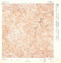
1947 · Orocovis NE
USGS Topo · 1:10,000
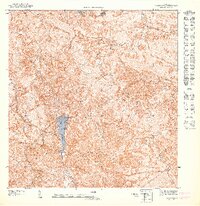
1947 · Orocovis NO
USGS Topo · 1:10,000
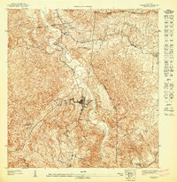
1947 · Ciales NO
USGS Topo · 1:10,000
1947 · Jayuya NE
USGS Topo · 1:10,000
1947 · Florida SE
USGS Topo · 1:10,000
1947 · Florida NE
USGS Topo · 1:10,000