2020s Maps of Flamenco, Culebra
Explore 2 historic maps of Flamenco from the 2020s. These maps offer a rare glimpse into what life looked like during the 2020s — showing old roads, neighborhoods, homes, and landmarks that have changed or disappeared over time.
Whether you're researching your family's past, planning a metal detecting trip, or studying how Flamenco's landscape evolved across the 2020s, these high-resolution maps are a powerful tool for exploring the history of this region.
- Focus on a specific era: All maps on this page are from the 2020s, giving you a focused view of this time period.
- See what’s changed: Compare century-old streets, trails, and buildings to today's modern landscape using overlays and satellite layers.
- Research with precision: Use these maps for genealogy, historical research, land use analysis, or educational projects.
- View, download, or print: Maps are fully viewable online in high resolution, and can be downloaded or printed for your own records.
Start exploring Flamenco's history through authentic maps from the 2020s. This is your window into the past.
Flamenco, Culebra maps
(2)- 2024 Map of Culebra OE W, 2024 Print
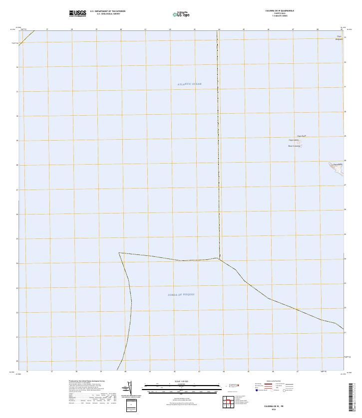 2024 Culebra OE W2024 Print · USGSThe waters surrounding Culebra come into focus in the mid-2020s, showing a protected archipelago of cays and marine channels. Researchers can locate remote landforms within the Culebra National Wildlife Refuge, including Cayo Lobito and Roca Columna.
 - 2024 Map of Culebra, 2024 Print
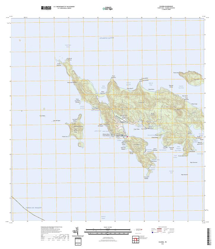 2024 Culebra2024 Print · USGSCulebra and its surrounding cays appear here in modern detail, showing the integration of island life with vast protected lands. Researchers can trace local landmarks from the Benjamin Rivera Noriega Airport to the Cementerio Municipal and the shores of Ensenada Honda.
End of results
Showing maps 1-2 of 2
Frequently asked questions
- What are the different types of historical maps available for Flamenco?
- What is the oldest map of Flamenco?
- Where can I purchase historical maps of Flamenco for my home or office?
- Where can I download high-res historical maps of Flamenco?
- Are there historical topographic maps available for Flamenco?
- Is there historical aerial imagery available for Flamenco?
- Where are historical maps of Flamenco sourced from?