Old Maps of Flamenco, Culebra for Academic Research
Study the evolution of Flamenco with 8 high-resolution historic maps. Whether you're teaching, researching, or modeling changes in land use, these maps provide essential visual documentation of urban, environmental, and geographic change.
- Analyze long-term change: Track patterns in development, transportation, and natural features.
- Ideal for environmental or urban studies: Support academic projects with primary historical map data.
- Use in the classroom or lab: Educators and researchers rely on these maps to bring historical context to life.
These maps are a powerful tool for teaching, research, and visualizing how Flamenco has changed over the decades.
Flamenco, Culebra maps
(8)- 1948 Map of Culebra And Adjacent Islands, 1966 Print
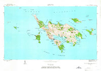 1948 Culebra And Adjacent Islands1966 Print · USGSCulebra and its surrounding cays are documented here just after the war, showing the island's maritime character and small coastal settlements. Researchers can trace the early layout of Culebra town, Playa Sardinas I, and the sheltered waters of Ensenada Honda.2 unique versions available
 - 1950 Map of Culebra And Adjacent Islands
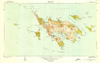 1950 Culebra And Adjacent Islands1950 Print · USGSThe island of Culebra and its surrounding cays are shown in detail at mid-century, highlighting the maritime importance of its deep-water harbors. Researchers can trace early shoreline settlements at Playa Sardinas I and geographic landmarks like Cayo Pirata and Península Flamenco.2 unique versions available
 - 2013 Map of Culebra, 2013 Print
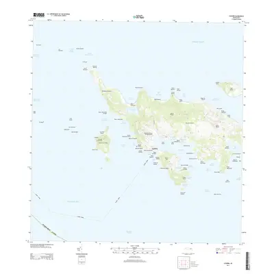 2013 Culebra2013 Print · USGSCulebra's intricate coastline and offshore cays are shown in detail during the early twenty-first century. Researchers can trace the layout of the main Culebra settlement near Ensenada Honda or locate landmarks like the Benjamin Rivera Noriega Airport and Melones Beach.
 - 2013 Map of Culebra OE W, 2013 Print
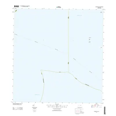 2013 Culebra OE W2013 Print · USGSCoastal waters west of Culebra are mapped here during the early twenty-first century, highlighting the remote cays and maritime boundaries of the archipelago. Researchers can locate isolated landmarks like Cayo Lobito, Cayo Tuna, and the navigational hazard of Roca Columna.
 - 2018 Map of Culebra, 2018 Print
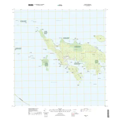 2018 Culebra2018 Print · USGSCulebra's complex archipelago and protected lands appear in high detail during this recent era of coastal management. You can trace local landmarks like the Benjamin Rivera Noriega Airport or locate the quiet Cementerio along the shores of Bahía de Sardinas.
 - 2018 Map of Culebra OE W, 2018 Print
 2018 Culebra OE W2018 Print · USGSCoastal waters and isolated cays between Fajardo and Culebra are detailed in this recent maritime survey. Researchers can locate protected landforms within the Culebra National Wildlife Refuge, including Cayo Lobo, Cayo Lobito, and Cayo Botijuela.
 - 2024 Map of Culebra OE W, 2024 Print
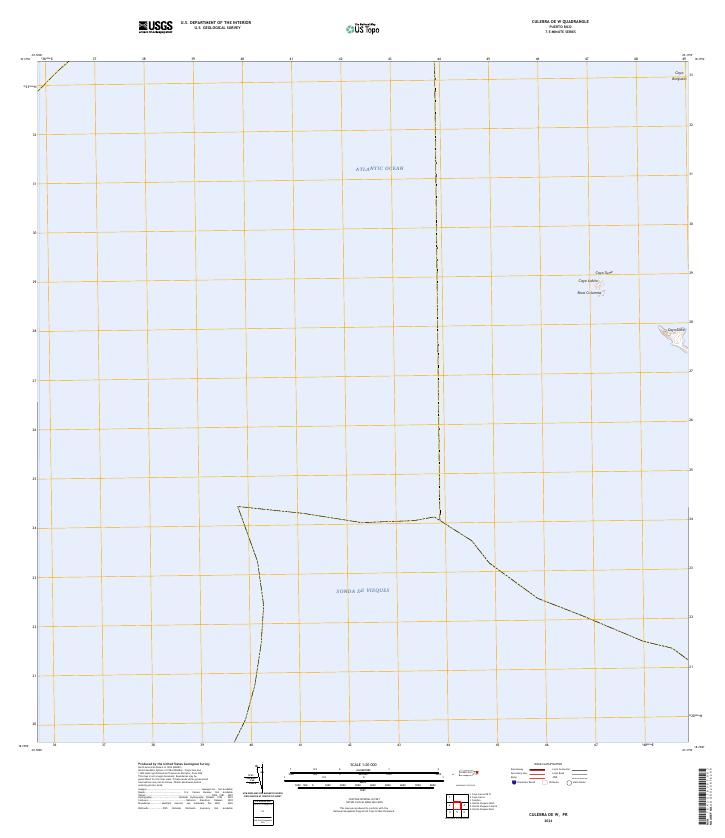 2024 Culebra OE W2024 Print · USGSThe waters surrounding Culebra come into focus in the mid-2020s, showing a protected archipelago of cays and marine channels. Researchers can locate remote landforms within the Culebra National Wildlife Refuge, including Cayo Lobito and Roca Columna.
 - 2024 Map of Culebra, 2024 Print
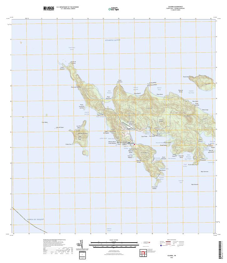 2024 Culebra2024 Print · USGSCulebra and its surrounding cays appear here in modern detail, showing the integration of island life with vast protected lands. Researchers can trace local landmarks from the Benjamin Rivera Noriega Airport to the Cementerio Municipal and the shores of Ensenada Honda.
End of results
Showing maps 1-8 of 8
Frequently asked questions
- What are the different types of historical maps available for Flamenco?
- What is the oldest map of Flamenco?
- Where can I purchase historical maps of Flamenco for my home or office?
- Where can I download high-res historical maps of Flamenco?
- Are there historical topographic maps available for Flamenco?
- Is there historical aerial imagery available for Flamenco?
- Where are historical maps of Flamenco sourced from?