Old Maps of Marines, Fajardo for Genealogy
Trace your family roots with 8 historic maps of Marines. These high-res maps reveal old neighborhoods, homesites, landmarks, and streets — helping you uncover where your ancestors lived and how the area evolved over time.
- Explore historic neighborhoods: Identify where your relatives may have lived in the 1800s or 1900s.
- Compare maps over time: Trace the changes in streets, buildings, and landmarks for multi-generational research.
- Perfect for genealogy & ancestry research: Used by family historians and researchers to map out lineage and migration.
These maps are an incredible resource for exploring your personal connection to Marines's past.
Marines, Fajardo maps
(8)- 1946 Map of Fajardo
 1946 Fajardo1946 Print · USGSNortheast Puerto Rico is shown just after the war, highlighting a landscape of sugar estates and coastal settlements. Genealogists and historians can trace family locations at Colonia Monserrate, Aldea Cintrón, and the port at Puerto Real.4 unique versions available
 - 1947 Map of Fajardo NE, 1948 Print
 1947 Fajardo NE1948 Print · USGSNortheastern Puerto Rico in the late 1940s reveals a coastal landscape where established agricultural colonies met the rising tide of development. Genealogists can trace family footprints at Colonia Paulina, Colonia Isidra, and the fishing village of Soroco.
 - 1952 Map of Fajardo, 1953 Print
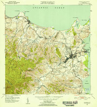 1952 Fajardo1953 Print · USGSNortheastern Puerto Rico in the early fifties reveals a landscape dominated by the sugar industry and coastal development. Genealogists and historians can locate numerous family-named estates like Colonia San Miguel or Colonia Josefa, and trace the path of the FAJARDO DEVELOPMENT railroad.2 unique versions available
 - 1958 Map of Fajardo, 1960 Print
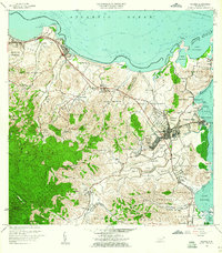 1958 Fajardo1960 Print · USGSThe northeastern coast of Puerto Rico in the late fifties shows a landscape of growing port towns and deep-rooted agricultural barrios. Researchers can trace family ties through Pueblo Norte, find coastal landmarks like Playa Sardinera, and locate the early boundaries of the Roosevelt Roads Naval Reservation.
 - 1962 Map of Fajardo, 1965 Print
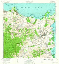 1962 Fajardo1965 Print · USGSCoastal Fajardo and Luquillo appear in the early 1960s as the region balanced its fishing and maritime heritage with growing federal and municipal infrastructure. Trace the early boundaries of Puerto Real, the Roosevelt Roads Naval Reservation, and local schools like Escuela Rio Chiquito.6 unique versions available
 - 2013 Map of Fajardo, 2013 Print
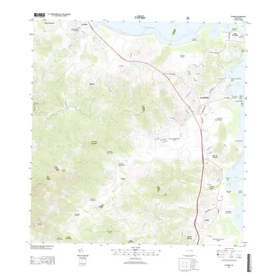 2013 Fajardo2013 Print · USGSNortheast Puerto Rico during the early 2000s showcases a dense network of coastal marinas and expanding regional airports. Researchers can trace the development of Fajardo and Luquillo, locate the Diego Jimenez Torres Airport, and explore the shoreline from Cabo San Juan to Ceiba.
 - 2018 Map of Fajardo, 2018 Print
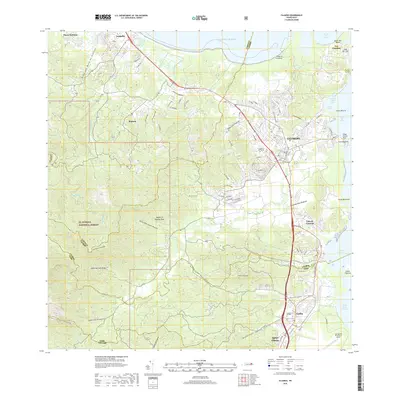 2018 Fajardo2018 Print · USGSThe northeastern coast of Puerto Rico is captured here in the late 2010s, showing the bustling port of Fajardo alongside the protected peaks of the forest. Researchers can trace local heritage at the Cementerio de Fajardo or locate old coastal settlements such as Las Croabas and Playa Fortuna.
 - 2024 Map of Fajardo, 2024 Print
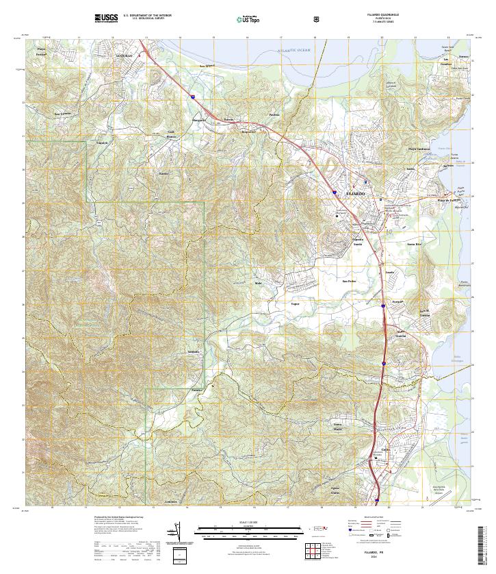 2024 Fajardo2024 Print · USGSNortheast Puerto Rico is shown in great detail here, from the heights of the national forest to the bustling coastal docks. Researchers can locate specific neighborhoods like Espanta Sueño, trace the Quebrada Fajardo, or find the Cementerio De Ceiba.
End of results
Showing maps 1-8 of 8
Frequently asked questions
- What are the different types of historical maps available for Marines?
- What is the oldest map of Marines?
- Where can I purchase historical maps of Marines for my home or office?
- Where can I download high-res historical maps of Marines?
- Are there historical topographic maps available for Marines?
- Is there historical aerial imagery available for Marines?
- Where are historical maps of Marines sourced from?